Apps Like Transconomy Collector for iPhone and iPad
Split data, assign areas, collect images
Navigation allows transportation agencies to divide project data into specific areas for image collection. Assign areas to data collectors who can view them on a map. Collectors capture images at specified spatial or temporal intervals.
by iENGINEERING Corporation★ 5.02 ratingsNavigationFreeData updated 2026-09-06
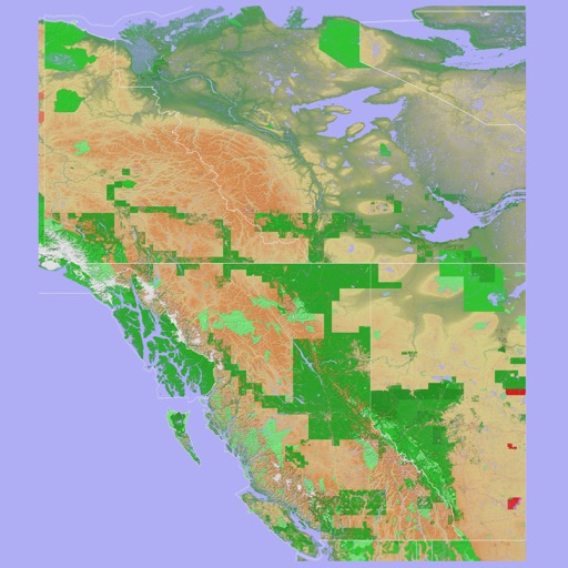
The app provides a 3D topographical map of Western Canada. Map data downloads to the device for use without an internet connection, allowing users to view terrain features as small as ten meters.
View and analyze geographic data with customizable maps. Import ESRI Shapefiles and other datasets. Create and export maps with background imagery. Load and investigate spatial data directly on the device.