The app scans QR codes and barcodes, supporting recognition from local photos and detecting multiple codes simultaneously. It also creates custom QR codes and barcodes, with features for managing records and tracking delivery status.
Record and document vehicle inspections with customizable checklists, capture photos and notes, and generate reports. Track inspection history, set reminders, and share findings securely with stakeholders.
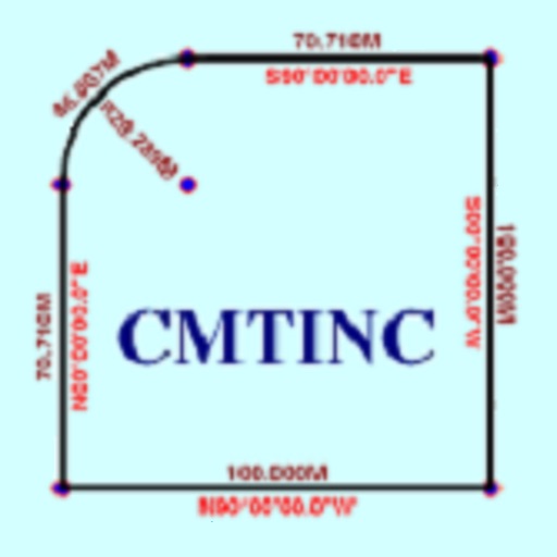
The app converts real property descriptions into boundary maps. Users enter angles and distances to draw property boundaries, displaying closure error, total area, and perimeter.
Enable location sharing between devices using GPS data without cellular connectivity. Access high-level location information on iPad via tethering from iPhone. Record and track location data with built-in logging features.
The app provides tools for timber stand basal area estimation and GPS data collection. Users can map land parcels, create grid points, and import or digitize features.