
Apps Like Cardinal - Outdoor Companion for iPhone and iPad
Navigate trails, roads, and cities
Navigate locations with turn-by-turn directions and map views. Search for points of interest and save favorite spots. Share routes with others and receive real-time location updates. Track progress and explore nearby landmarks.
Cardinal - Outdoor Companion screenshots
Ranked alternatives
Showing 401–420 of 1,000 ranked alternatives.
Land Measure Pro
Pendlebury Software LLC
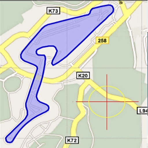
Area, length, and angles on maps
Area, lengths, and angles on maps using an interactive crosshair. Trace outlines to create connected points, updating area and perimeter in real time. Adjust radius for scaling features. View dynamic length and angle as you move the crosshair.


Qiblih
Eric Da Cunha
Face the direction accurately
Determine the direction for prayer using iPhone compass. Display angular difference as "Delta". Older devices require external compass for magnetic north alignment.


GPS Live Location - Maps
Kamalkumar Trapasiya
Plot routes and navigate smoothly
Navigate to any destination with turn-by-turn directions and route planning. View real-time traffic updates to avoid delays. Get voice-guided directions and adjust routes on the fly.

Length Mass Speed Converter
AR Code Pte. Ltd.
Convert units for distance and area
Convert units for distance, area, volume, and . Switch between mm, cm, m, km, in, ft, yd, mi, and their squared or cubed equivalents. Convert grams, kilograms, tonnes, and oil barrels to liters or gallons.



Jetting for World Formula Kart
BALLISTIC SOLUTIONS RESEARCH & DEVELOPMENT SOFTWARE SIARHEI RAICHONAK

AB Converter
RockCat Studio Limited
Convert units across 12 categories
Convert units across 12 categories including length, area, and weight. Switch between millimeters, inches, miles, and other units.

Area Measure & GIS GPS GMapper
Suphawadee Yaprasat
Map, , and manage land areas
Land measurement tools allow precise and distance calculations on maps. Coordinate capture enables adding multiple coordinates to maps. Map exploration includes zooming, panning, and layer management.


BRMB Maps by Backroad Maps
Mussio Ventures Ltd.
Navigate with detailed topographic
Navigate using detailed topographic and over 900,000 searchable points of interest across Canada. Plan routes, view terrain features, and access trail information. Mark locations, save waypoints, and track progress. Share and coordinates with others.

Tactical Navigator
Orange Clover LLC
Navigation for outdoor enthusiasts and military.
The app provides navigation tools for communications, operations, and outdoor planning. It includes a compass, multiple coordinate systems, weather conditions, and route calculation features.

Jetting IAME KA100 & KFS FFSA
BALLISTIC SOLUTIONS RESEARCH & DEVELOPMENT SOFTWARE SIARHEI RAICHONAK


Hiking Trails - Walk,Hike,Maps
雅诗 陈
Explore , navigate, track progress
Discover curated with detailed route information and real-time GPS navigation. Use offline maps for areas without internet. Track progress, unlock achievements, and access multilingual support for safer outdoor navigation.

How we rank alternatives
Apps are ranked by functional similarity, category fit, rating confidence, and popularity.