

Apps Like Cardinal - Outdoor Companion for iPhone and iPad
Navigate trails, roads, and cities
Navigate locations with turn-by-turn directions and map views. Search for points of interest and save favorite spots. Share routes with others and receive real-time location updates. Track progress and explore nearby landmarks.
Cardinal - Outdoor Companion screenshots
Ranked alternatives
Showing 321–340 of 1,000 ranked alternatives.

Maps 3D Neo
movingworld GmbH
Explore trails, track routes, and navigate outdoors
Plan outdoor activities with 3D terrain views of hills, mountains, and valleys. Navigate footpaths and track elevation changes. Save and share custom routes. Sync with fitness apps for activity logging.


GPSSpeed HD: The GPS tool
MWAY DIGITAL GmbH
Track speed, altitude, and log data
GPS displays speed, altitude, and track data with real-time profiles. Logs activity in sleep or background mode. Stores recorded tracks for analysis and map display. Shares tracks across devices via iCloud.


Jetting for Beta 2T Moto
BALLISTIC SOLUTIONS RESEARCH & DEVELOPMENT SOFTWARE SIARHEI RAICHONAK
Calculate and spark plug settings
Calculate optimal and spark plug settings for 2-strokes based on temperature, altitude, humidity, atmospheric pressure, and engine configuration. Fetch weather data from nearby stations or use internal barometer for precision.


E6BJA E6B Flight Computer
Dr. Jamie Alnasir, Ph.D
Practice calculations anytime
Perform aeronautical calculations including wind correction, fuel planning, and time-speed-distance. Input data to compute required values. Access multiple calculation modes and reference charts. Save and review calculation history.


Pear Altitude - GPS / No Ads
自力 黄
Record and track your journey
Track with real-time GPS measurements and second-level precision. Monitor oxygen levels and elevation changes. Log journeys offline and sync data later. Customize themes and access advanced tracking features without login or ads.
Barometer-Altimeter,Thermo RA
宇 楼
Measure pressure, altitude, and temperature
Measures atmospheric pressure, altitude, and temperature using device sensors. Displays real-time readings and historical data. Alerts for pressure changes. Syncs with weather services for forecast updates.

Mil-Dot Ballistics
Thomas Holsten
Fast range estimation and ballistics calculation.
The app combines range estimation with a ballistics calculator for fast targeting. It offers real-time calculations and supports one-handed operation without manual measurement input.
Ballbank
Christopher Dry
Measure curves, set advisory speeds
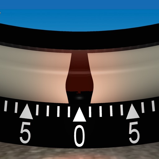
Measures roadway curve angles in degrees. Calculates combined effects of superelevation, vehicle roll, and lateral acceleration. Provides advisory speed recommendations for horizontal curves. Syncs with devices for data storage and analysis.


Military Compass+ Lite
Elen Bekzadyan
Track orientation with real-time compass data
Provides real-time device orientation based on magnetic fields. Allows switching between true and magnetic north. Displays compass direction and azimuth. Includes declination information. Offers tilt sensitivity settings.


How we rank alternatives
Apps are ranked by functional similarity, category fit, rating confidence, and popularity.