

Apps Like Cardinal - Outdoor Companion for iPhone and iPad
Navigate trails, roads, and cities
Navigate locations with turn-by-turn directions and map views. Search for points of interest and save favorite spots. Share routes with others and receive real-time location updates. Track progress and explore nearby landmarks.
Cardinal - Outdoor Companion screenshots
Ranked alternatives
Showing 301–320 of 1,000 ranked alternatives.
My GPS Coordinates
Kevin Willett
Share location via email and messaging
Share real-time GPS location via email, text, or social media. Recipients receive a map link showing your position. Supports multiple coordinate formats including degrees, UTM, and MGRS. Compatible with Apple Maps, Google Maps, and Bing.


Handy GPS
Anthony Dunk
Seek, find, record, and return.
The app provides navigation for outdoor activities, allowing users to view their location in UTM or Lat/Lon. It supports recording and returning to waypoints, track logs, and exporting data to KML, GPX, or CSV files.

Jetting IAME KZ1 / KZ2 Kart
BALLISTIC SOLUTIONS RESEARCH & DEVELOPMENT SOFTWARE SIARHEI RAICHONAK
Jet tune based on weather and engine
Provide recommendations for engines based on temperature, altitude, humidity, and atmospheric pressure. Input engine configuration details like carburetor type and fuel mix. Automatically fetch weather data from nearby stations.

Jetting Modena KZ1 / KZ2 Kart
BALLISTIC SOLUTIONS RESEARCH & DEVELOPMENT SOFTWARE SIARHEI RAICHONAK
Jet tune carbs with engine specs
Provides recommendations for specific engines based on temperature, altitude, humidity, atmospheric pressure, and engine configuration. Calculates 12 options for KK1, KK1R, MKZ, KK2 engines with DellOrto VHSH 30 carbs.

E6B Aviation Calculator - FLT9
Raj Jeshang, Inc.
Calculate flight parameters and altitudes
Calculate pressure and density altitudes, true airspeed, and mach number. Determine wind correction angle and true heading. Compute crosswind, headwind, and tailwind. Find ground speed and flight time. Calculate fuel burn and cloud base.


altimeter professional
FFZ srl
Track altitude and record position data
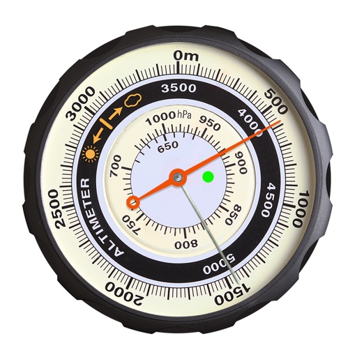
Displays altitude using a digital readout and an analog gauge. Tracks maximum height reached during use. Shows altitude accuracy and sensor quality. Utilizes GPS and barometric sensor for precise measurements.


Sensor Play - Data Recorder
Philip Broder
Record and visualize results
Allows users to access and monitor iPhone sensors like GPS, accelerometer, gyroscope, and barometer. View real-time from each . Export readings as CSV files. Create custom combinations and visualize graphs.



Jetting Kawasaki KX 2T Moto
BALLISTIC SOLUTIONS RESEARCH & DEVELOPMENT SOFTWARE SIARHEI RAICHONAK

iFollowers: Analyze followers
Leonardo Oliveira
View profiles, track , check engagement rate
Track profile views and identify users who unfollowed or did not follow back. Monitor engagement rates on posts to assess follower interaction levels. likes and comments to gauge post popularity and audience interest.

Earthquake Alert - Seismic
婷 张
Monitor earthquakes and track real-time data
Monitor earthquakes with real-time updates and GPS compass maps. Display professional data including altitude, orientation, air pressure, and coordinates. View environmental metrics like humidity and temperature.
How we rank alternatives
Apps are ranked by functional similarity, category fit, rating confidence, and popularity.