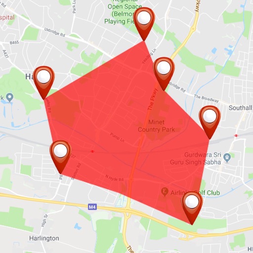
Create routes for running or walking by tapping on the map. Calculate distances and areas on the map. Plot routes and get automatic directions. traveled and save route data. Sync with fitness trackers for step and tracking.
3D maps and views of locations. Track real-time location with traffic data. Calculate distance from home. Plan routes and explore famous sites. Find directions and covered area during navigation. Use 3D world map for trip planning.
View and navigate topographic maps offline with full resolution. Import Geospatial PDFs and align maps accurately. Rotate maps and reference them over Apple Maps. Track location and zoom in for detailed terrain features.
Find routes between stations with real-time transfer time calculations. View fare information and filter stations. Access an updated map for MRT and LRT. Plan trips without internet connectivity.
View real-time hotel deals as you , filter by exit location, and check availability before arrival. Call hotels directly from the for instant booking. Use to book stays upon arrival.
Navigate waterways with detailed charts, build routes, and record tracks. View tides and currents. Set waypoints and track progress. Share maps and access free US charts for safe boating.
Enter MGRS or coordinate data to navigate to specific points. Adjust pace count and track deviations. View distance, speed, and angle settings in meters/km or feet/miles. Analyze movement patterns for navigation improvement.
Plan routes by drawing on the map with finger swipes. Calculate total distance instantly. Track progress for hiking, walking, running, and other activities. View details for tourism, golf, and hunting. Sync with fitness apps for activity logging.
Track trips with real-time GPS data including speed, position, distance, elevation, and map display. Record details and export GPX files for review in Google Earth. Sync data to a computer for geo-tagging and management.