"Access detailed maps for global navigation. Zoom at any level with vector maps. Avoid roaming costs with functionality. Locate nearby points of interest and plan routes without internet."
Operational planning and documentation for heavy transport.
The app provides GIS operational planning, intelligent navigation, and operational reports with photos. It includes a vehicle database and works offline, synchronizing when connected.
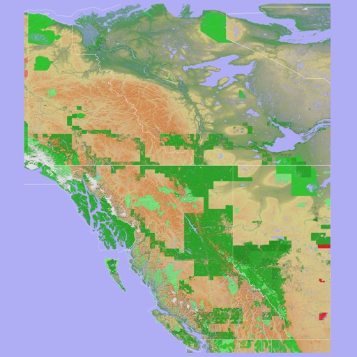
The app provides a 3D topographical map of Western Canada. Map data downloads to the device for use without an internet connection, allowing users to view terrain features as small as ten meters.
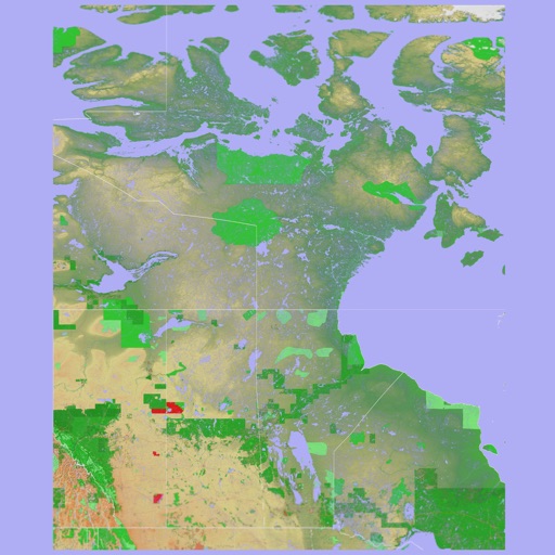
The app presents a 3D topographic map of Eastern Canada. Users can download map data for use without an internet connection, suitable for various travel methods.