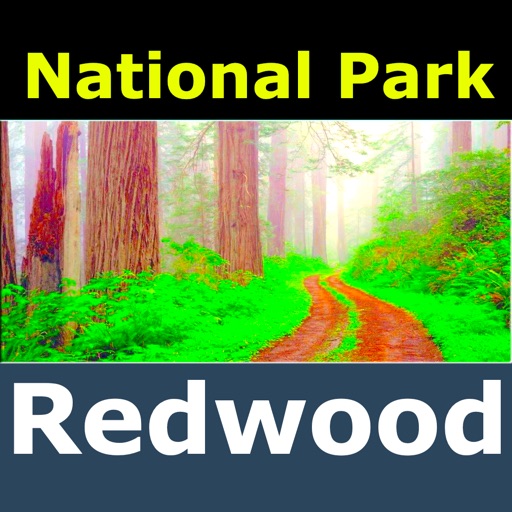
Navigate parks with offline maps featuring trails, campsites, attractions, and points of interest. Overlay maps for easy navigation. Access trail details and facilities without internet connection.
Measure and areas by drawing paths or closing loops. Switch between metric and imperial units. Undo drawings as needed. View standard or satellite maps. Export measurements as KML files for use in Google Earth and other mapping apps.
Navigate with route suggestions and public transport
Navigate streets and public transport routes in Cochabamba with full door-to-door guidance. Choose between buses, micros, or trufis. Get multiple route options and search for streets, crossings, or points of interest.
Measure areas, distances, and perimeters with precise pin placement. Mark and save measurements, name and group them for easy access. Share measured maps with colleagues directly.
Display and coordinates using iPhone GPS. Show precise location data instantly. Provide clear, minimalistic interface for quick reading of geographic coordinates. No unnecessary features or tabs.
Track mountain hikes with in- GPS, recording vertical gain and current elevation. Browse, search, and filter 600,000 peaks across 50 map layers, including topo and satellite views. Save hikes, collect peaks, and share progress with others.
Track pot depths, locations, and catch totals. Access NOAA marine maps with water depth data. Navigate to pots using map and compass. View heatmap modes for map navigation. Add notes to individual pots.
Provide offline topographic maps of Great Britain with pan and zoom capabilities. View detailed terrain features and scale at 1:25k. Use for outdoor activities like hiking, cycling, and hunting in areas without cellular coverage.
View topographic maps of New Zealand's offline. Locate current position via GPS. Search for place names. Includes all map data from LINZ 1:50000 scale Topo50 series.
Find fishable streams across the U.S. with real-time stream data and weather forecasts. Locate access points and parking. View special regulations. Search for nearby fly shops and stream gages. Track catch and release activities.