
Crowsflight
CW&T Studio LLC
GPS compass points to destination.
The app provides mapless navigation using GPS and compass data. It allows users to drop markers, search for destinations by address or placename, and view locations on a map.

Showing 61–80 of 1,000 ranked alternatives.
CW&T Studio LLC
GPS compass points to destination.
The app provides mapless navigation using GPS and compass data. It allows users to drop markers, search for destinations by address or placename, and view locations on a map.
Robert Winkelman
Calculate for rectangles
Calculate footage by entering length and width for multiple rectangles. Support measurements in , inches, or both. Export calculations as CSV for further use.

Daniel Storm
Place on messages and images
Create and customize for iMessage conversations. Use markup tools to censor, blackout, or redact content. Resize and rotate before placing them. Share across messages and personalize with over 70 designs.

Daniel Medeiros
Track location, speed, and weather
Tracks location, speed, altitude, heading, acceleration, g-force, and atmospheric pressure. Retrieves and displays current weather data. Records tracks up to 10 minutes or 10 kilometers. Plays back tracks at multiple speeds.

Kraus und Karnath GbR 2Kit Consulting
Navigate with accurate position data
Track position, height, and acceleration with accuracy in feet, meters, miles, or kilometers. Log maximum altitude and speed. Display and save current or waypoints on a map. Choose coordinate formats for viewing.

Vulcan Materials Company
Calculate material needs for projects
Estimate construction material quantities for building and paving projects. Input job parameters like length, width, and thickness. Select material properties such as density from predefined options.
Nazar Fedoruk
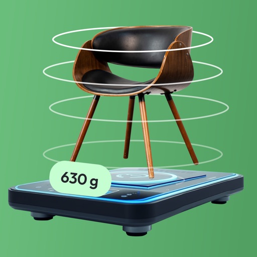
Measure objects and capture dimensions instantly
Measure object dimensions with camera using AI-powered image analysis. Capture and analyze multiple objects in a single photo. Save and share measurement data. Convert units between inches, centimeters, and feet.

Clayton County Board of Commissioners
Report issues on a map and submit
Report non-emergency issues like potholes, street light malfunctions, and park maintenance by marking locations on a map. Answer questions to describe the problem and add photos.


Grymala sp. z o.o.
With AR and traditional tools
Distances and angles using augmented reality and on-screen rulers. Tap to mark points and calculate lengths. Export measurements as text or image. Sync with other devices for collaborative projects.

Internet Stuff Ltd
Plan and visualize a shot frame
Plan and visualize shots from approach to target with overlays like entry angle and distance markers. Save favorite shots and use video mode for analysis.

绪海 罗
Distances with precision
Distances with millimeter precision using or TrueDepth camera. Tap to place markers and view real-time measurements. Save and share measurement data. Export as PDF or image.
ikeGPS, Inc.
Measure objects with a photo
Measure objects by taking a photo with a smartphone or tablet. Capture real-time dimensions like height, width, area, and length. Share measurements via Cloud. Sync with laser device for accurate data. Export measurements in various formats.


Brandon McMahan
Connect to marker, adjust settings, view stats
Connect to the via Bluetooth. Adjust marker settings and view real-time statistical data. Sync performance metrics to iOS device.

Aleksandr Varaksa
Calculate weight and cost of metals.
The app calculates the weight and cost of 3D objects made from various metals. It accepts input in independent units and supports switching between English and metric systems for both input and output.

Xuan Luong Do
Find coordinates and get directions
Coordinates can be viewed and shared via decimal degrees, degrees-minute-seconds, degrees-minute-decimal, UTM, and military grid systems. Users can tap a map to retrieve coordinates and directions.
Apps are ranked by functional similarity, category fit, rating confidence, and popularity.