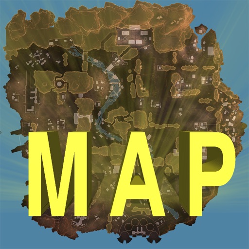
Track locations, respawn beacons, survey beacons, crates, and jump towers. Toggle points of interest on and off. Share markers with friends to coordinate strategies. View interactive map with detailed location data.
Capture allows users to scan bodies or objects for clinical and professional applications. It uses 3D technology with Sensor 3 or TrueDepth/LiDAR cameras. Scans can be saved, shared, and integrated with design software.
Measure areas and distances using GPS with real-time accuracy. Calculate land plots, fields, or property boundaries in multiple units including square meters, square feet, and acres. Add multiple points on a map to define custom shapes.