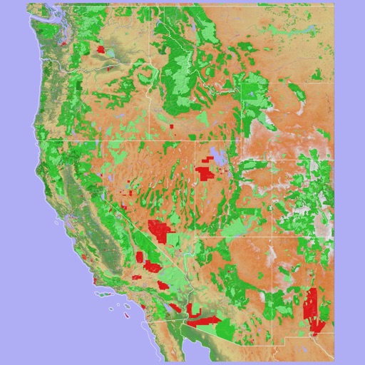
Navigate using a 3D topographic map of the USA and Hawaii. Access offline vector maps for navigation in vehicles or outdoors. Switch to online maps for global coverage with automatic caching. Explore locations with zoom and scroll features.
Save locations and receive alerts when near them. Add places quickly and organize them. Access saved spots with a tap. Sync locations across devices. Share saved places with others. View location history and manage notifications.
Explore scenic routes from Manistee to Northport along . View photos of Sleeping Bear Dunes, Point Betsie Lighthouse, and Manitou Islands. Access historical facts and directions. Save favorite stops and share locations with others.