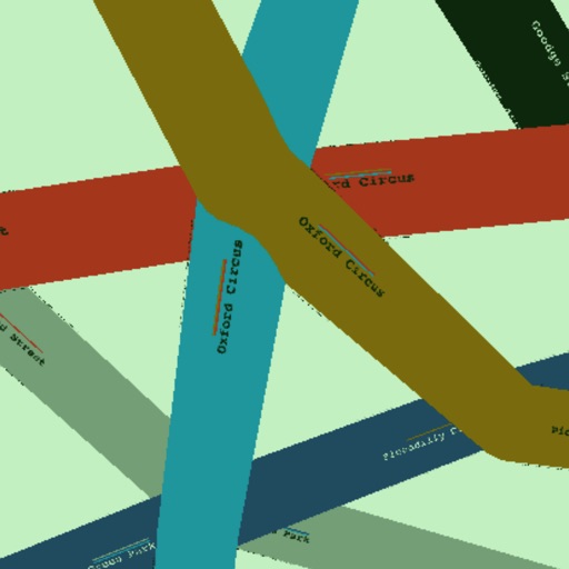
The app looks up any latitude/longitude coordinate on the earth's surface and displays it on a satellite image or map. It is useful for finding a location specified only by its coordinates or to map out a SIGWX area.
The app presents different types of stereograms that simulate real-world depth perception. It includes experiments and interactive demonstrations for educational purposes, requiring specific glasses for viewing.
Access real-time location tracking and search for destinations within Seoul. Use maps for navigation without internet. View maps with route details and locate nearby stations. Switch between English, Chinese, Japanese, and Korean language options.