The app offers a powerful browsing tool for countries and their capitals and flags. It includes over 300 flags and up-to-date data, with listing options by region and statistics for total area and population.
The app teaches the names and locations of North American countries and territories. It features interactive lessons for identifying countries, hearing pronunciations, and assembling puzzle maps that mirror Montessori materials.
Children can assemble wooden jigsaw puzzles with 10-15 pieces each. Puzzles feature animals from different regions like polar bears, camels, and kangaroos. Touching a piece hides the rest of the temporarily.
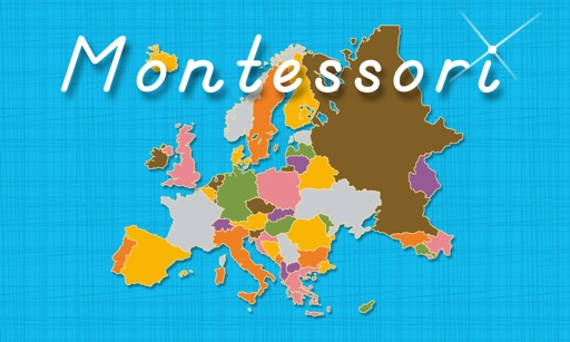
Learn country names and locations in by touching country icons to view details, hear pronunciations, and see map highlights. Complete puzzle maps to identify country pieces and match them to their correct positions.
The app provides trivia questions and answers across multiple categories. It replaces question cards for board games, allowing users to select categories and colors for gameplay.
Test knowledge with quizzes on countries, capitals, flags, and population. Compare countries using stats like area or population. Challenge friends locally or play solo. Track progress and learn fun facts about global locations.