Apps Like Europe - Geography by Mobile Montessori for iPhone and iPad
Learn country names and locations
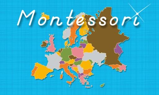
Learn country names and locations in by touching country icons to view details, hear pronunciations, and see map highlights. Complete puzzle maps to identify country pieces and match them to their correct positions.
by Rantek Inc.★ 0.00 ratingsEducation$4.99Data updated 2026-09-10
Learn country names and locations within the . Tap a country in the filmstrip to view it on the map. Tap the speaker button to hear pronunciation. Tap the compass button to highlight the country on the map.
The app teaches the names and locations of North American countries and territories. It features interactive lessons for identifying countries, hearing pronunciations, and assembling puzzle maps that mirror Montessori materials.
The app offers geography activities for children ages 3 and up, covering continents, countries, flags, and capitals. It includes puzzle maps and flag activities with audio and graphics for learning pronunciation and facts.
Learn country names and locations through interactive jigsaw puzzles. Explore maps of Asia, Australia, Canada, Central America, Europe, Oceania, South America, and U.S. states. Drag and drop pieces to complete each map.
Explore country profiles with population, languages, government, and GDP data. Access high-resolution and regional views. Download national flags and offline. Search for locations and view detailed geographical information.
Learn state shapes, names, and locations. Discover historical facts about each state. Assemble a U.S. puzzle map by matching to their shapes. Complete interactive activities to reinforce knowledge.
Test logos by selecting correct brand names. Choose from categories like tech, fashion, and food. Play through multiple levels with increasing difficulty. Track progress and compete against others.
The app helps children learn continents and oceans through audio and interactive puzzle maps. It features three puzzle types and is co-developed with a Montessori teacher.
The shape and location of US states and landmarks for free. Purchase additional maps for countries in the Americas and Europe. Test knowledge with quizzes and games. Track progress and review facts repeatedly.
Teaches communication skills and early education concepts through voice-based , cartoons, and activities. chat with an AI teacher using speech technology. Features include interactive , progress tracking, and customizable lesson plans.
Solve search puzzles with customizable grids and themed clues. Discover cuisine-related words and unlock country-specific challenges. Play offline without internet connection. Track progress and revisit completed puzzles.
Learn through interactive map quizzes. Identify countries, capitals, and regions. Choose from various difficulty levels and themes. Track progress and review incorrect answers. Share scores with friends.
Test your knowledge of with a trivia game that includes 158 and 50 dependent territories. Choose from three difficulty levels. Guess based on country names or images.
Test your knowledge with quizzes covering maps, flags, capitals, and more. Answer 6000 questions across four difficulty levels. View worldwide rankings and track progress. Learn about 500 countries, regions, and islands.