
My GPS Coordinates Lite
MYSTIC MOBILE APPS LLC
View in DMS, DDM, DD, and UTM
Display geographical in DMS, DDM, DD, and UTM formats simultaneously. Show altitude from GPS, network API, and barometer. Display GPS accuracy. Track position in real time.

Showing 321–340 of 1,000 ranked alternatives.
MYSTIC MOBILE APPS LLC
View in DMS, DDM, DD, and UTM
Display geographical in DMS, DDM, DD, and UTM formats simultaneously. Show altitude from GPS, network API, and barometer. Display GPS accuracy. Track position in real time.

Oleksandr Motliuk
Send files over Wi-Fi or hotspot
Share files, photos, apps, and text between devices on the same Wi-Fi or hotspot network. Select files to send, choose recipients, and view a history of shared items. Support multiple types and direct transfers without internet.


Devkrushna Infotech Private Limited
Files with a single tap
Files between devices with a single tap. Select and send photos, videos, and documents instantly. Secure transfers without needing additional setup or third-party services.






Philip Broder
Record and visualize results
Allows users to access and monitor iPhone sensors like GPS, accelerometer, gyroscope, and barometer. View real-time from each . Export readings as CSV files. Create custom combinations and visualize graphs.

V PUGAZHENTHI
Calculate and engineering parameters
Allows users to perform calculations for and engineering parameters. It includes formulas and definitions for each calculation. Users can compute force, friction, centripetal force, work, power, displacement, and more.


Triple Earth Pty Ltd
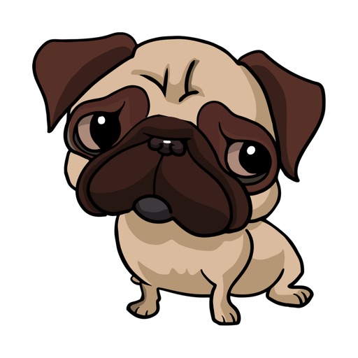
Send pet face stickers and emoticons
Send animal face stickers and emoticons to chat apps like iMessage, WhatsApp, and Facebook Messenger. Choose from unique dog, cat, and bird expressions showing various emotions. Use them to convey feelings when words are lacking.
Corvallis Microtechnology, Inc.
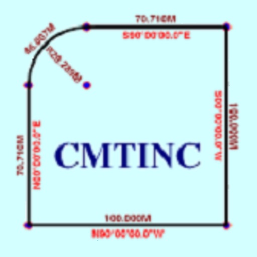
Convert property descriptions into maps.
The app converts real property descriptions into boundary maps. Users enter angles and distances to draw property boundaries, displaying closure error, total area, and perimeter.


Corvallis Microtechnology, Inc.
GPS/GIS mapping app for data collection.
The app digitizes features on a background map and creates traverse points. It organizes data in Topic layers and supports Shapefile import/export.

Apps are ranked by functional similarity, category fit, rating confidence, and popularity.