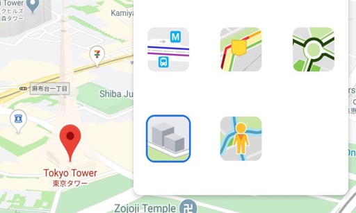
Real-time maps and GPS locations. Access satellite imagery and 360-degree views for global exploration. Navigate streets with turn-by-turn directions. Track current location and update maps in real time.
Felipe Braunger Valio Desenvolvimento de Sistemas Ltda
Save locations, explore regions, track monsters
Explore game regions with detailed maps and locate treasures, monsters, and quest markers. Save discovered locations to organize the map. Access all quests, gear, alchemy formulas, and character information.
Helps users find Polaris or Sigma Octantis for polar alignment. It displays current direction, elevation, latitude, longitude, and altitude. Users can check alignment status and adjust setup accordingly.
Allows users to open locations from one map in another. It connects Google , Apple , Waze, and other services. Users can switch between map apps directly. The features a classic iOS 6 interface.
Download for national parks and USGS topographic regions for offline use. Access 150 NPS park and 60,000+ topographic . Use GPS navigation without internet connectivity. Save for later use in areas with no data service.
Manage and organize addresses with search, sorting, and labeling features. Save locations for easy access. Set favorites for quick retrieval. Sync addresses across devices. View and edit details directly.
The app allows users to create and edit information in OpenStreetMap. Users can add points of interest, streets, paths, buildings, and bodies of water, with full undo/redo support and offline capabilities.
Track APA scores in real-time. Display score changes during a match. Record games and view statistics like break counts and shoot rates. Save and review game history. Sync with devices for multi-player use.
Provides GPS navigation along rivers and streams for flyfishing. Users can identify public land in green, private land in red, and leased in purple. The shows parking locations and river points. Users can save favorite spots and view offline.