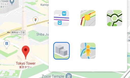
The app offers interactive transit maps and a journey planner for Los Angeles public transportation. It provides step-by-step directions, station search, and departure information, with offline access available for supported features.
Share real-time locations with family members. Set safe zones and track history. Monitor phone using GPS technology. Send alerts and check device status remotely.
Explore trails, track routes, and navigate outdoors
Plan outdoor activities with 3D terrain views of hills, mountains, and valleys. Navigate footpaths and track elevation changes. Save and share custom routes. Sync with fitness apps for activity logging.
Create and manage unique, customizable for homes, businesses, or any location. Assign creative names and numbers, update remotely, and share them with others for easy navigation and communication.
View , speedometer, and in one screen. Access big icons for easy navigation. Control playback and adjust volume. Display real-time speed and trip information. Sync with Bluetooth devices for hands-free calling.
Connect to an OBDII device via WiFi to read vehicle diagnostic data. View real-time engine parameters, check trouble codes, and monitor sensor values. Save and export diagnostic reports.
Manage time, improve productivity, reduce distractions.
The app helps users improve productivity by managing time and reducing distractions. It tracks time spent on various activities, offering features like task management and statistics.
Get accurate GPS and latitude longitude instantly. Display in multiple formats including DMS, UTM, and MGRS. Convert between coordinate systems. Share precise location data directly.
Track real-time locations of family members or devices using GPS. View positions on an interactive map. Set up custom safety zones and receive alerts when locations enter or exit these areas. Share data with selected contacts.
Displays real-time traffic and satellite views. Shows current location and allows address input. Measures land area and calculates radius and corners. Shares location via email, SMS, or social networks. Auto-updates direction based on movement.
Track individuals' locations using their number, contact list, or manual input. Send an SMS request to obtain precise GPS coordinates displayed on a map. Monitor real-time movement and view historical location data.
Navigate using detailed original and measure routes. Check weather and save places to go. Build an atlas of trips with offline and field guide data. Generate trip video reels and save offline tides information.
Navigate using auto-direction based on current location. Create routes on Google . Access latest Street View and traffic data. Search locations with simple input. Add multiple pins and view full-screen . Display latitude and longitude.