
Topo maps - Norway
Shingle Oy
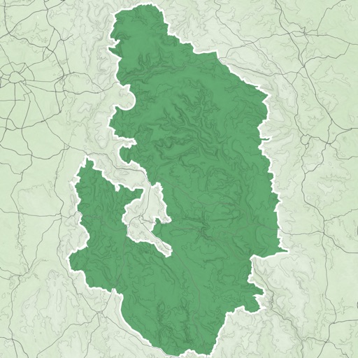
Detailed topographic map of Norway.
The app provides detailed topographic maps of Norway for offline use. Users can download map areas, record tracks, plan routes, and measure distances and angles.

Customize dashboards with sensor data
Customize dashboards with configurable gauges like speedometer, odometer, GPS altimeter, barometric altimeter, accelerometer, artificial horizon, compass, and elapsed time. Swipe to switch views and access real-time sensor data from iPhone or iPad.
Showing 781–800 of 1,000 ranked alternatives.
Shingle Oy
Detailed topographic map of Norway.
The app provides detailed topographic maps of Norway for offline use. Users can download map areas, record tracks, plan routes, and measure distances and angles.


nicolas dumas
Track time, speed, and distance
Track progress during TSD rallies with real-time distance calculations based on average speed. Adjust timing manually via co-pilot input. Monitor speed and distance to maintain compliance with regulations.

Duncan Wilcock
See the road ahead clearly.
The app displays a map with traffic and a chase-plane view. Users can see the road ahead and plan routes to avoid traffic jams.



Justin Graham
Calculate distance and bearing between points.
The app calculates distances and bearings between two points using latitude and longitude. It can also determine a final position from a starting point, distance, and bearing.




Apps are ranked by functional similarity, category fit, rating confidence, and popularity.