Customize dashboards with configurable gauges like speedometer, odometer, GPS altimeter, barometric altimeter, accelerometer, artificial horizon, compass, and elapsed time. Swipe to switch views and access real-time sensor data from iPhone or iPad.
by Kevinnovate, LLC★ 4.513 ratingsNavigationFreeData updated 2026-09-23
View real-time GPS maps and switch between map and views by holding the device. Track heading, , altitude, latitude, longitude, speed, and temperature. Use a for accurate navigation and monitor speedometer and temperature readings.
The app provides a collection of 13 measuring tools and a flashlight. It includes a barometer, altimeter, compass, teslameter, metronome, stopwatch, timer, seismometer, plumb bob, surface level, spirit level, and ruler.
Determine direction using a digital . Display azimuth at the top of the screen. Navigate while hiking or traveling. Indicate north, south, east, and west. Show magnetic field orientation.
Track , distance, altitude, and heading in real time with GPS. View live position on an interactive map. Record trips with detailed route mapping and save journeys for later review. Switch to HUD mode for hands-free navigation.
Track speed in using units like meters per second, miles per hour, and kilometers per hour. Display speed in English or Spanish. Allow users to request additional language support.
Track speed and distance in miles and kilometers. Monitor real-time speed and display maximum and average speeds. Check speed limits and receive warnings for speed and red light cameras. Access offline maps and view weather conditions.
Track location, speed, and altitude with real-time GPS data. Use a digital compass for direction. Access weather information and tag locations. Share coordinates and view maps.
Navigate with real-time location details including , coordinates, speed, altitude, and compass. View an orientation-focused map that expands to full screen. Tap and hold to search for addresses or coordinates. Share location instantly via tap.
GPS-based digital displays current speed during driving, flying, cycling, or boating. Shows head-up display mode on car dashboard. Displays maximum speed limit and road name. Includes linear compass for direction.
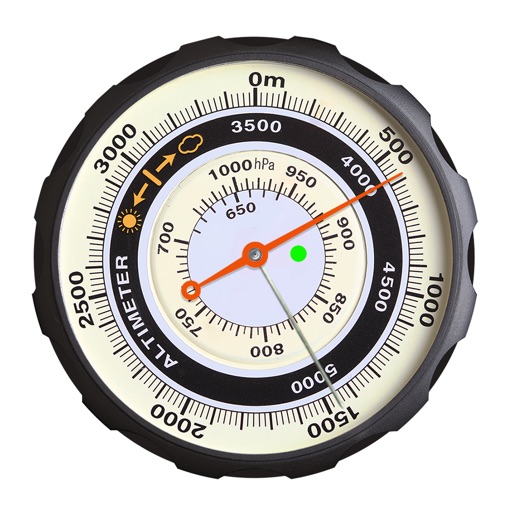
Displays altitude using a digital readout and an analog gauge. Tracks maximum height reached during use. Shows altitude accuracy and sensor quality. Utilizes GPS and barometric sensor for precise measurements.
Track speed and trip data using GPS. Switch between km/h and mph. View odometer, average, and maximum speed. Check outside temperature and weather. Receive audio and visual alerts for speed limits. Use compass and customize display color.
Display current, maximum, and minimum altitude using GPS. Switch between meters, feet, and yards. Adjust scale increments of 10, 100, 1000, or 10000. Track altitude changes during hiking or travel.
Tracks barometric pressure and altitude using device sensors. Records data continuously in the background. Displays interactive graphs for pressure trends over time. Supports auto-updating widgets for real-time weather insights.
Check altitude in real-time without network connection. Use the compass for direction. Measure speed with the velocimeter. Take photos with altitude and GPS data included.