
Apps Like Radiation Scan Pro for iPhone and iPad
Radiation Scan Pro screenshots
Ranked alternatives
Showing 301–320 of 1,000 ranked alternatives.

Plan from Camera - PDF AR Scan
GENOVA Softworks
Measure surfaces, export plans as PDF, share
Draw and measure surfaces with automatic creation. Calculate perimeter of closed and open areas. Switch between meters and feet. Adjust line width, zoom, and set custom plans. Export as image, PDF, or share via social media and messaging.


My GPS Coordinates Lite
MYSTIC MOBILE APPS LLC
View in DMS, DDM, DD, and UTM
Display geographical in DMS, DDM, DD, and UTM formats simultaneously. Show altitude from GPS, network API, and barometer. Display GPS accuracy. Track position in real time.

Agro Measure Map Pro
Blue Blink One, SL
Measure distances, perimeters, and areas.
The app calculates surface areas, fields, plots, and dimensions for various field work needs. It measures distances, perimeters, and areas with precision over satellite images.

Bird Song Identifier Sounds ID
Trang Vu Huyen
Identify plants, birds, and insects with photos
Identify plants, birds, fish, and insects from photos or camera input. Access a high-quality database for species information. Learn about various species through detailed content.


Distance Measure Pro
Robin Betjes
Measure distances and areas on maps.
The app measures distances between map waypoints and surface areas of polygons. Users can select measurement units including kilometers, miles, and nautical miles.


Crowsflight
CW&T Studio LLC
GPS compass points to destination.
The app provides mapless navigation using GPS and compass data. It allows users to drop markers, search for destinations by address or placename, and view locations on a map.

PlantGuide - ID & Diagnose
DREAMMOBI PTE. LTD.
Identify plants with a photo
Identify plants by snapping photos for flowers, trees, succulents, and herbs. Get species names, facts, and care tips. Detect plant diseases on leaves, stems, and soil. Receive step-by-step treatment advice for issues like spots, rot, and pests.


Lens: AI Search by Images, ID
LIONSPACE GLOBAL TECH LTD
Identify objects with your camera
Use camera to identify objects, plants, animals, food, and landmarks instantly. Scan items and receive detailed information. Explore categories like food, fashion, and nature for targeted insights.
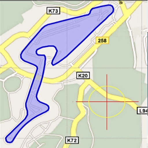
Land Measure Pro
Pendlebury Software LLC
Area, length, and angles on maps
Area, lengths, and angles on maps using an interactive crosshair. Trace outlines to create connected points, updating area and perimeter in real time. Adjust radius for scaling features. View dynamic length and angle as you move the crosshair.
How we rank alternatives
Apps are ranked by functional similarity, category fit, rating confidence, and popularity.