Receive location data via email and map it automatically. Visualize GPS coordinates with a radius overlay. Get notifications for location updates. Share mapped locations with others. Set custom radius sizes and track movement patterns.
by Badge Apps LLC★ 4.611 ratingsUtilitiesFreeData updated 2026-09-22
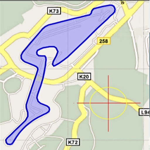
Area, lengths, and angles on maps using an interactive crosshair. Trace outlines to create connected points, updating area and perimeter in real time. Adjust radius for scaling features. View dynamic length and angle as you move the crosshair.
Allows users to take photos of math problems and receive step-by-step solutions. It can plot graphs of equations. Users can chat with an AI tutor for homework and assignment .
The app provides an alarm for expiring parking time and helps users locate their parked car. Users can also find nearby parking spots within a 5km radius on a map.
Manage daily tasks and long-term goals with customizable widgets for quick access. Personalize your to-do with adjustable themes, fonts, and corner radius settings. Set and organize tasks efficiently.
View interactive with real-time GIS data. Locate assets, collect data, and perform inspections. Use smart forms for data entry. Set geofence alerts. Share location in real time. Complete tasks with map-based navigation.
Track real-time GPS locations of contacts. View historical movement data and maps. Set location alerts and receive notifications. Share location updates with specified contacts. Manage multiple tracked individuals within the .
Plan and execute autonomous flights using waypoint missions. Track subjects with GPS Follow Me. Capture cinematic shots with Virtual Copilot. Control drone with intuitive navigation tools. Enable immersive VR flight experiences.
Distances on maps by tapping to add route points. Calculate length of roads, buildings, or areas. Get accurate calculations without needing existing routes or ground features.
Calculate distances and areas using GPS coordinates. Place markers on a map to measure distances between points or total of a route. Delete markers by tapping them. Export results for further use.
Display current location using GPS, GALILEO, and GLONASS. View position on various map layers. Import and export KML files. Navigate with coordinate systems. Track movement during outdoor activities.
Record routes for walking, running, or traveling. Manually adjust positions along the . Add GPS coordinates to photos without using photo editors. Track movement and save location data for later reference.
Track elevation and climb rate in real-time. Calibrate altitude settings and check GPS accuracy. Send location links via SMS for easy sharing and navigation assistance. View maps in web browsers for location tracking.
And on your Apple Watch with customizable brush sizes and blur radius settings. Access a large color palette and save or undo changes. Delete drawings as needed.
Live with contacts, set safe zones, and mark favorite places on a map. Create and save locations for future reference. View nearby spots and receive -based alerts. Control privacy settings and manage shared locations.
Receive real-time earthquake alerts via push notifications based on location and magnitude. View interactive maps with colored circles indicating event magnitude and age. Track earthquake timelines for today and yesterday.
The app converts between decimal degrees, degrees and decimal minutes, degrees-minutes-seconds, and UTM coordinates. It shows the user's current GPS precision and allows them to copy or send their location.
Capture and edit high-resolution photos with manual exposure controls and RAW support. Adjust white balance, focus, and color grading. Import and organize images in folders. Export photos in various formats and share via social media or email.
Display and coordinates using iPhone GPS. Show precise location data instantly. Provide clear, minimalistic interface for quick reading of geographic coordinates. No unnecessary features or tabs.