Receive location data via email and map it automatically. Visualize GPS coordinates with a radius overlay. Get notifications for location updates. Share mapped locations with others. Set custom radius sizes and track movement patterns.
by Badge Apps LLC★ 4.611 ratingsUtilitiesFreeData updated 2026-09-22
3D scans, images, audio, and field notes using smartphone or tablet. Record depth and location data via camera, LiDAR, and GPS. Create digital twins of crops and forests. View live augmented reality guidance during data collection.
Track location in real time and view historical GPS data. Monitor vital metrics remotely. Playback past trips and set geofencing alerts. Share location with others via link.
Monitor contacts' real-time locations using live GPS tracking. Set personalized arrival notifications. Securely store contact information in a digital database. Share location updates with selected individuals.
Enable secure two-factor authentication with biometric verification. Authenticate user access via RADIUS, Microsoft ADFS, or SAML federated login. Verify transactions post-login independently of the request channel.
Collect and map field data with customizable forms and attributes. Capture data offline or online. Transfer data to desktop GIS platforms. Edit and manage attributes directly in the field. Sync data with preferred GIS software.
Desktop displays time with a style and retro interface. Set focus mode to minimize distractions. Use countdown timer for tasks like cooking or workouts. Adjust settings for time zones and alarms.
The app allows users to create requests for problems such as potholes or graffiti. The request can include photos, GPS coordinates, an address, and comments.
LogGPS records GPS data including coordinates, altitude, speed, and accuracy when the save button is pressed. Users can add notes, edit or clear them between saves. Data is stored with timestamps and can be reviewed later.
Measure ambient temperature using GPS and display in . Show temperature in a badge with below-zero values indicated. Convert to Fahrenheit with a formula. Include barometric pressure readings from the pressure sensor.
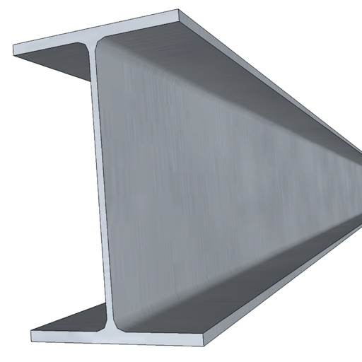
Calculate the , radius of gyration, and section modulus for selected cross-sectional shapes. Choose from 20 shapes, input dimensions, and view results. Used in machine design, construction, and civil engineering.
Displays real-time device orientation relative to magnetic fields. Switch between true and magnetic North. Shows location coordinates, course, speed, and altitude. Tracks movement and provides directional data.
Mark locations on maps by pinning or entering GPS coordinates. Organize saved places into folders and access favorite spots quickly. Navigate using integrated Google Maps or preferred mapping services.
Calculates mechanical and structural properties of three-plate built-up sections. Determines moment of inertia, modulus of section, radius of gyration, area, and weight. Provides results in both principal axes.
View and manage CAD drawings with support for DWG, DXF, and PDF formats. Open multiple files simultaneously. Use scale tools to distances in meters and perform continuous length measurements. Add annotations and markups directly on drawings.
Manage family communication and safety with real-time location tracking and direct messaging. Activate or deactivate features based on age. Share updates and receive alerts for child's location and activity.