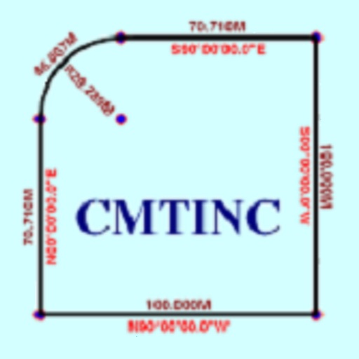
The app converts real property descriptions into boundary maps. Users enter angles and distances to draw property boundaries, displaying closure error, total area, and perimeter.
The app streams mono or stereo oggvorbis audio to the Locustream SoundMap project. It automatically locates the stream on the map using GPS and supports Wi-Fi or 3G networks.
Monitor vehicles' GPS locations and status in real time. View whether vehicles are moving, working, or stopped. Receive alerts for restricted zone entries, engine status changes, and curfew violations. Manage operations from any device.
Tracks employee locations using GPS while active and cell triangulation when inactive. Sends location data to a web service via HTTP. Allows real-time monitoring and historical location viewing. Supports timer-based reporting intervals.