Track real-time vessel movements and access detailed maritime data. Search for ships by name, MMSI, or IMO. View ship details, photos, and voyage information. Customize maps with overlays to identify ports, shipping lanes, and navigation markers.
The app transforms an iPhone into a car head-up display. It functions well at night and performs better in daylight under less intense ambient light conditions, such as on a cloudy day.
Provides real-time schedules for buses and metro lines. Displays routes, arrival times, and delays. Allows users to plan trips and navigate Lima's public transport system. Offers trip alerts and service updates.
Track trips automatically to view time, distance, max and average . Generate shareable images with key stats after each trip. Access detailed driving data including acceleration, braking, cornering, stops, lane changes, and G-force.
Convert geographic coordinates to map locations and vice versa. Input latitude and longitude to place a red pin on the map. Long press a map point for 0.5 seconds to display its coordinates.
The app displays a user's current location and the positions of hot air balloons on a map. Users can set competition goals, which appear as circles on the map.
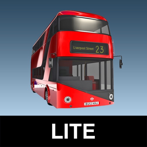
The app provides real-time bus arrival information for all London bus stops using Transport for London live data. Users can search for bus stops by name, ID, or current location to see upcoming arrivals.
Track with real-time GPS measurements and second-level precision. Monitor oxygen levels and elevation changes. Log journeys offline and sync data later. Customize themes and access advanced tracking features without login or ads.
Locate current position and display full address. Copy data for use in registration or shopping. Requires internet connection to retrieve and show address information.