Record video footage of the driving session whenever the vehicle is in motion. Detect potential collisions using AI-powered forward collision warning. Stream footage to a smartphone for review.
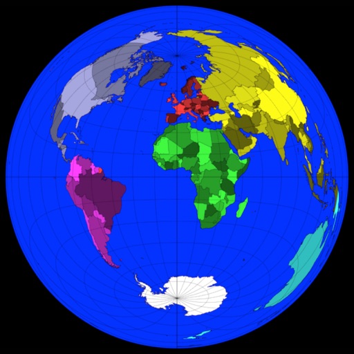
The app calculates distances, areas, and circumferences using algorithms that account for the Earth's curvature. It also converts position coordinates between different coordinate systems and supports various geodetic datums and projection methods.
Navigate subway system with detailed maps of all stations. Search for locations and routes without an internet connection. View station names in English and simplified Chinese.