Test knowledge with quizzes and globe interactions
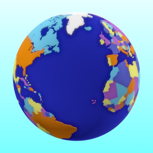
Learn geography through interactive quizzes on topics like flags, capitals, and country locations. Identify countries on a globe or choose multiple-choice answers. Customize quizzes by selecting countries and topics.
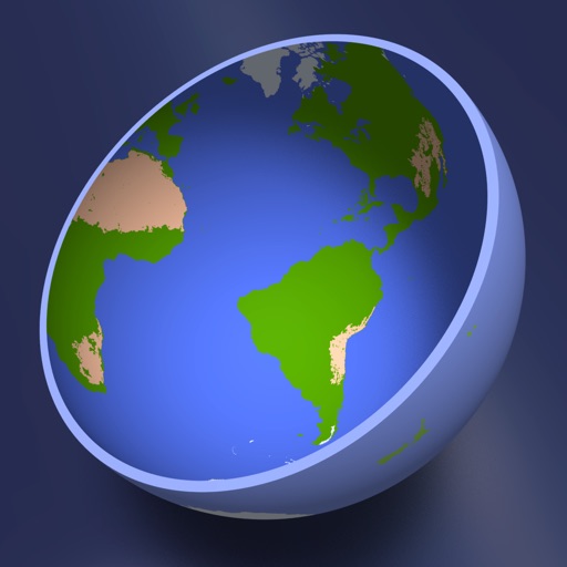
View high-definition 3D globe and latest satellite imagery. Load map tile data for detailed terrain and urban features. Use oriental compass for direction. Access historical street view for past locations. Measure area and distance on .
Real-time 3D maps with GPS navigation. Access HD views for current locations and addresses. Get driving directions and traffic updates. Receive voice-guided routes for navigation. Sync with global earth map for location-based insights.
Learn by identifying countries, capitals, and flags through interactive quizzes. Earn achievements for correct answers. Improve memory and knowledge with age-appropriate challenges designed for children and adults alike.
Learn by answering quizzes about countries, capitals, and flags worldwide. Play free quizzes for all regions or subscribe for additional content. Track progress and test knowledge on different continents.
Explore the solar system with 3D views of and the moon. Locate celestial bodies using 2D and 3D sky maps. Check visibility times for . Rotate a 3D globe to view planetary details.
Add GPS data including date, time, latitude, longitude, altitude, weather, and compass to . Share geotagged images with friends to show travel locations. Track live location and embed it into captured .
Share workspace with students using screen mirroring on Zoom, Google Meet, and Microsoft Teams. Capture and display documents, whiteboard notes, or physical objects. Adjust brightness, contrast, and focus. Annotate live video feeds.
Display current speed and location using GPS. Switch between units like mph, km/h, m/s, knots, and min./500m. No ads or in- purchases. Requires careful use while driving.