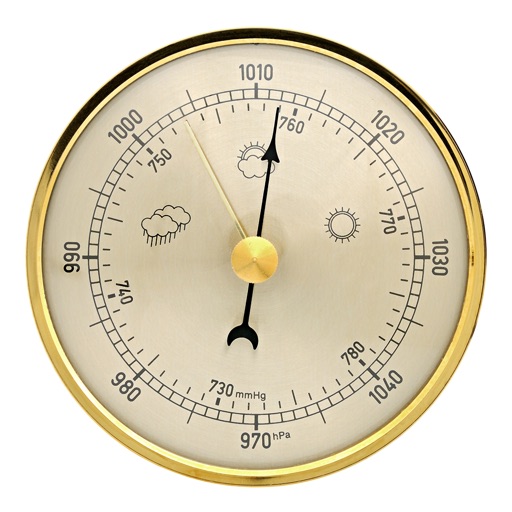
The app displays world rain radar, satellite imagery, and earthquake data on a Google Map. It provides weather information including temperature, wind, humidity, pressure, and cloud coverage, along with forecasts.
Displays live weather data from participating organizations. Shows wind direction and speed in a compass view. Provides temperature, humidity, and precipitation details. Includes radar and forecast maps.
The app displays temperature, weather, and wind details for the current location. Users can move the map to update information, including temperature in Fahrenheit, Celsius, and Kelvin, wind direction and speed, air pressure, and humidity.
Monitor IoT sensors remotely with real-time alerts and a dashboard displaying all sensor data. View charts and measurement history. Set custom alerts for each sensor. Export reports. Support multiple sites and environments.
The app displays precise weather data for multiple locations worldwide through a clean and intuitive interface. It offers a vivid representation of current and future weather information with gorgeous backgrounds and interactive animations.
Measure environmental data with real-time and peak views. Support multiple sensors including SPL and voltmeters. Record video with score overlay and save measurements for later review.
View live tide levels from 400 sensors and NOAA stations updated every 6 minutes. Check tidal predictions and weather forecasts for US and Pacific locations. See high and low tides at a glance with graphs comparing live data to predictions.
The app displays built-in device sensor values including acceleration, heading, pressure, position, altitude, and speed. It also retrieves location name and elevation from GeoNames, and local weather data from World Weather Online.
Track energy production for the next 360 hours and 15 days. Export data in CSV format. Predict hourly and daily generation for rooftop or photovoltaic power plants. Help manage energy usage and costs.