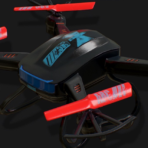
Flyover 360° allows users to select locations on a map, take off, and view 360° aerial perspectives. It enables flight plan preparation for drone operations. The connects to via iPhone, offering real-time control through a joystick interface.
Control drones via a remote connection. View live video streams and share them with incident commanders. Log flight data automatically. Adjust drone settings and monitor battery life in real time.
Log drone flights directly from the without additional equipment. Track weather and temperature in Kelvin. Manage multiple drones in a fleet. Review records with location and crew details.
Plan drone flights with customizable checklists and flight details. Create shot lists and equipment lists for preparation. Log flight data with search functionality for past records. Export data to spreadsheets and back up files securely.
Book hotels, flights, and travel services with instant price comparisons and exclusive deals. Make reservations, view package deals, and book transfers and rental cars. Pay in monthly installments with interest-free options.
Track flights and airplanes with real-time updates. View live paths and receive instant updates. Access detailed information including departure and arrival times. Locate airports and monitor air traffic movements.
Track flights and receive real-time updates. View terminal information and boarding pass details. Find dining and shopping options within the . Manage travel documents and access wayfinding tools. Sync journey details across devices.
Manage drone operations with real-time flight control, camera settings, and mission planning. View aerial data and images for property inspections. Integrate with AI tools for automated analysis and report generation.
Book flights with real-time search and price comparisons. Manage reservations and view itinerary details. Access flight status updates and gate information. Receive notifications about delays or cancellations.
Track flight details like callsign, aircraft, departure and arrival airports, and weather. View remaining time, distance, and altitude charts. Save and annotate screenshots. Browse current flights and flight data from multiple simulators.
Plan and execute autonomous flights using waypoint missions. Track subjects with GPS Follow Me. Capture cinematic shots with Virtual Copilot. Control drone with intuitive navigation tools. Enable immersive VR flight experiences.
View decoded and TAF reports for local and global . Save favorite stations for quick access. Customize units in settings. Use map view to analyze flight along planned routes. Share data with other pilots.
Track status with check-in counters, boarding gates, and baggage carousels. Access real-time airport details including queues and screen information. Monitor flights via real-time radar. Manage trips with itinerary details and notifications.