Track speed, distance, altitude, and heading with real-time GPS data. Record trips with route tracking and save journeys for later. View live maps with position updates. Export trip data for analysis.
Track speed and distance in miles and kilometers. Display maximum, average, and current speed. Show road names and speed limits. Receive speed camera alerts. View weather information. Sync with Apple Watch. Display odometer readings.
Find free sites without internet. View driving distance and time from current location. Explore user-sourced sites with variable ratings. Save favorites and navigate using map features.
Navigate using with real-time and landmark visuals. Access Google Maps integration for route planning. Explore 3D imagery of global locations. Walk through famous sites virtually from your device. Stay updated with enhanced map features.
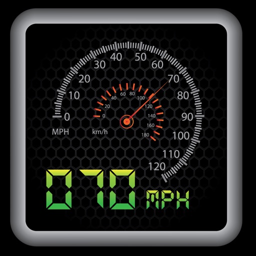
The app provides a heads-up display for a car, offering GPS-based speed information with MPH and KPH options. It includes digital and standard font modes, 12 and 24-hour clock options, and portrait and landscape orientations.
Calculate , altimeter setting, relative air , and relative humidity using GPS, weather data, and the phone's barometer. Track specific humidity in grains per pound. Suitable for pilots, engine tuning, and outdoor activities.
Share real-time location with contacts via phone number or email. View others' locations from any web-enabled device without needing an . Request ' locations or share your own for tracking.
Provides GPS navigation with fast lock time and precise parameters. Supports multiple systems including GPS, Galileo, GLONASS, and QZSS. Diagnoses location issues and suggests fixes. Includes latitude, longitude, and WGS84 by default.
Track location, speed, and altitude with real-time GPS data. Use a digital compass for direction. Access weather information and tag locations. Share coordinates and view maps.
View high-definition 3D globe and latest satellite imagery. Load map tile data for detailed terrain and urban features. Use oriental compass for direction. Access historical street view for past locations. Measure area and distance on .
Access real-time data and control virtual . Tune global aviation radios or create custom radio aids. Practice navigation techniques and use as a training tool or supplementary instrument during flights.
Navigate with turn-by-turn directions using Google Maps or Mapbox. Play music from Apple Music or Spotify with large buttons. Listen to podcasts online or offline. Customize themes, button layouts, and colors.