Calculate land area using coordinates or map points. Measure distances between locations. Set property prices based on area. Export measurements and save data for reference.
Configure and customize product settings, including lighting preferences and safety features like fall alerts. Adjust settings according to user needs. Monitor and manage devices for personalized driving safety.
Displays current course, speed, altitude, coordinates, orientation, and weather using GPS and compass. It includes advanced bookmarking, Street View, and live Flyover mapping features.
Monitor , distance, and travel statistics in real time. Display data on a heads-up display for easy viewing. Track performance metrics and save session data for later review. Sync with devices to share results.
Track boats and ships in real time using a map. Identify vessels by pointing your camera at them. Receive alerts when tracked vessels depart or arrive. View vessel details and movement history. Share tracked vessels with others.
Arthur Eduardo Skaetta Alvarez Desenvolvimento de Software LTDA.
Record videos with both cameras
Record videos simultaneously with front and back cameras to create duets or export separate clips. Combine two videos from the roll to make duets for social media sharing. Syncs with social platforms for direct uploads.
The app supplements the default iOS Maps app. It displays businesses, stations, streets, locations, and monuments on Apple Maps and provides walking or driving directions.
Welfare monitoring for recreational activities and travel.
The app informs assigned contacts about user activities, destinations, and expected check-in times. It automatically notifies contacts if a user fails to check in on time, relaying real-time location and alert status.
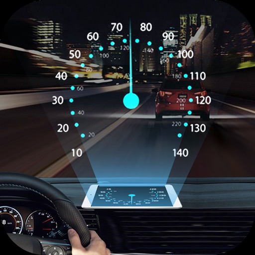
Projects speed, clock, weather temperature, cruise control, and now playing song information onto the windshield when iPhone is rotated and placed near the windshield. Displays data in landscape mode for easier visibility while driving.
Measure distances and angles using a rangefinder and inclinometer. View real-time compass direction and GPS location. Overlay maps and take geo-tagged photos or videos. Calculate navigation routes and track elevation changes.
Monitor speed and red light traps using GPS data. Receive customizable alerts for upcoming dangers. Integrate with an external device for real-time updates. Log and review trap locations. Set personalized warning preferences.
Track outdoor activities with stats, photos, videos, and maps. Log details for hiking, biking, skiing, kayaking, or road trips. Add descriptions and share adventures with others. Syncs with GPS devices and saves media directly.