Combines dash cam and navigation features. Users can access voice navigation and voice calls. Critical navigation info is displayed on HUD. It includes a full dash cam with recording. Tire pressure monitoring and alerts are supported.
by Shenzhen City, Zhi Yang Software Co., Ltd.★ 0.00 ratingsPhoto & VideoFreeData updated 2026-09-06
View topographical for hiking and backcountry use. Download and manage USGS and Canadian . Zoom and pan with high clarity. Share map locations and routes. Sync with GPS devices for real-time navigation.
Track vehicle locations in real time. Receive navigation instructions and control vehicle operation. Set destinations and monitor movement. Adjust speed limits and route preferences. Sync with mobile devices for remote management.
Is a minimalist that offers distraction-free browsing with a clean interface. Users can customize the navigation bar color and activate Reader Mode to remove ads and sidebars. The provides full-screen browsing without toolbars or clutter.
Find real-time subway line updates and accurate route planning between stations. Receive voice alerts for station exits and transfers. Search for nearby points of interest with distance and contact details.
Access real-time subway data and accurate schedules. Search for routes between locations with transfer options, travel time, cost, and distance. Receive alerts for train arrivals. Explore nearby points of interest and get directions.
Browse film recipes, save favorites, preview flickr
Browse film photography recipes with fast searching and intuitive navigation. Save favorites and manage them. Access Flickr previews tagged by members.
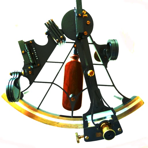
Calculate celestial navigation using the Law of Cosines method. Input Local Hour Angle, declination, and latitude to determine altitude and azimuth. Track calculations and review results for accuracy.
Control vehicle functions remotely including locking, unlocking, and locating the car. View fuel levels and battery status. Receive real-time navigation updates and manage connected device pairing. Send and receive messages via the .
Connect with friends, family, and coworkers through integrated messaging and event planning tools. Find and join local meetups using map-based navigation. Create and manage event details with customizable options.
Create an interactive autobiography by posting photos and recording audio to reflect on life events. Store data securely in iCloud. List favorite things like music, artists, and movies with personal comments.
View fetal 3D models and ultrasound videos in VR mode. Link with ALUVUU for custom 3D model playback. Edit and store baby videos. Access intuitive interface for navigation and playback.
Real-time public transport navigation system. Check bus and train routes passing nearby, scheduled and real-time arrival times throughout the day. Plan trips between locations using buses and trains up to seven days in advance.
Track vehicle routes and verify trips. Receive client pickups and drop-offs. Manage destination values and trip details. Sync with navigation systems for real-time updates.
Receive real-time traffic alerts via GPS for Moroccan highways. Set specific road sections and timeframes for notifications. Track your route and access maps for navigation. View incident updates including accidents and construction.
Navigation provides altitude estimates using device location service for general use. It offers barometric altitude tracking with iPhone 6 or newer, allowing precise relative elevation changes.
Provides navigation with detailed vector maps that support zooming at any level. Includes continuous updates from OpenStreetMap. Helps avoid roaming charges by offering local map data.
Navigation provides perpetual almanac and star finder chart with animation. Calculates lines of position, object data, and meridian passage. Supports running fixes and astronomical position calculations with multiple star observations.
Plan routes online and send them to the with one click. View routes on a map with spoken navigation and visual arrows. Record trips and sync them with www..org. Track start and destination points for ideal connections.
Navigate with marine and outdoor offline. Overlay satellite and terrain data on charts. Access local weather forecasts. View worldwide and satellite imagery when connected. Use NOAA raster data for detailed navigation.
Get current coordinates in latitude/longitude and MGRS format along with altitude, course, and speed. Toggle features on or off to customize the interface. View accurate location data for navigation purposes.