View real-time maps with high-resolution layers. Track tropical cyclones, storm cells, and lightning strikes. Access up to 12 hours of data. Plan activities based on accurate predictions.
Receive severe weather alerts for tornado, hurricane, flood, thunderstorm, winter , and other dangerous conditions. View alerts via voice or push notification. Track progression and receive updates based on your exact location.
The app provides tide charts and current predictions for stations worldwide. It displays tide information, including water level changes, high and low tide times, and sun and moon rise/set times.
Receive live audio updates from emergency broadcasts and scanners. Listen to real-time dispatches with AI-generated text transcription. Save and share recordings. Set alerts for specific locations or events.
Receive real-time worldwide using multiple data sources. View historical seismic data and explore detailed maps. Customize alert settings and access safety resources. Track locations and magnitudes with interactive visuals.
Provides real-time updates on activity in Japan. Displays magnitude, location, and depth of tremors. Offers alerts for seismic warnings and emergency notifications. Includes maps showing affected areas and safety guidelines.
Receive real-time weather and emergency alerts from NWS and IPAWS for up to five locations. View detailed forecasts, maps, and severe weather tracking. Access disaster preparedness guides and emergency contact information.
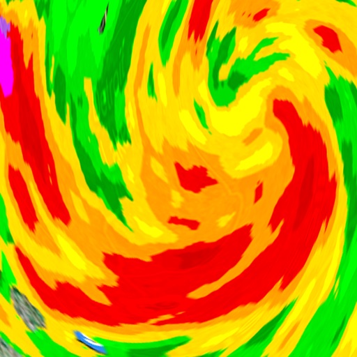
View real-time radar with 250-meter resolution and future storm outlook. Receive alerts for earthquakes and . Track local forecasts, precipitation, and temperature. Set custom alerts for specific conditions. Share data via social media.
Access real-time alerts from NOAA, view interactive maps for current conditions, and find nearby Red Cross shelters and services. Retrieve step-by-step preparedness guides for tornadoes, hurricanes, and other emergencies.
Track earthquakes with real-time data from USGS and EMSC. View event details including location, magnitude, and time. Receive alerts for new quakes. Save and share earthquake reports. Explore historical data and map-based seismic activity.
Stay updated with local news, weather forecasts, and breaking headlines from LA and Southern California. Receive customizable alerts and notifications based on your location. Access a free 24/7 news streaming channel.
Current shows temperature, icon, and 'feels like' temperature. Displays rain, wind speed, direction, and gusts. Includes widgets for quick views. Allows offline mode for no internet access. Provides hourly and 7-day forecasts.
View real-time maps showing precipitation types like , snow, and hail. Access detailed 24-hour and 14-day forecasts for any location. Receive severe weather alerts and track current conditions globally.
View live weather radar and satellite imagery. Track precipitation types and lightning. Access high-resolution forecasts using advanced models. Set location-based alerts. Share weather data with others.
Provide hyper-local forecasts with up to 48 hours of hourly data and 16-day forecasts. Receive severe alerts for your current location. Set daily notifications for updates. Choose locations and view detailed conditions.