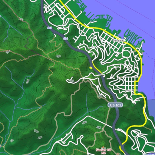
Customizable maps with detailed contour lines and small path visibility. Display POIs in categories as layers. Adjust icon size and overlap for clarity. Search for POIs, streets, towns, and villages.
by Joerg Holz★ 0.00 ratingsTravel$3.99Data updated 2026-09-18
Navigation allows users to plan trips and navigate without cellular service. View and edit maps based on OpenStreetMap data. Search waypoints and save locations offline. Track routes and share maps. Prioritize privacy with no user identification.
Distances and areas on satellite maps. Select objects like lawns, roads, and buildings. Save and share measurements. Export data in various formats. Sync with other apps for project planning.
Track trail conditions, difficulty levels, and snow depth. Log grooming schedules and locations. Share updates with other users and receive real-time notifications about trail changes.
Explore cities with multilingual audio-guided tours. Access curated guides and insider tips from local experts. Discover recommended attractions and navigate streets with interactive maps. Save favorite spots and share travel highlights.
Find Points of Interest with detailed categories including hotels, banks, toilets, tourist attractions, and hospitals. View routes and locations offline. Search for specific POIs and navigate using map-based directions.
Find officially approved hiking, biking, running, and ski touring routes near you and worldwide. View detailed trail information, including difficulty, length, and elevation. Plan trips, save favorite routes, and access maps and GPS navigation.
Intelligent map and location services application.
The app provides real-time traffic information, smart navigation, and updated parking details. It offers road-side assistance and information on events in Qatar.
Explore detailed worldwide and topographic contour for outdoor navigation. Access offline without data roaming. Use voice-guided routing and view travel guides. Unlock unlimited offline with an in- purchase. Always access Africa Standard for free.
Displays current location using GPS on a high-resolution topo map. Includes an index to over 1,000 locations in Utah’s Central mountains. Allows users to navigate trails, view elevation data, and access detailed route information.
Explore outdoor routes and points of interest with layered maps. View IGN maps, aerial photos, and OpenStreetMap for hiking and . Access Spain and Swiss maps, emergency call coverage in France, and winter trail information.
Navigate trails and routes for hiking, biking, and running. Access detailed maps of national parks and coastal paths. Find local neighborhoods and new trails. Plan routes with turn-by-turn directions. View elevation profiles and track progress.
Navigate using pedestrian and bike routes, even without an active iPhone location. Search for shops, restaurants, and other points of interest. Bookmark favorite locations for quick access. Customize color schemes between light and dark.
View and download detailed maps with topographical hillshading and contour lines. Store maps for offline use. Navigate using detailed terrain features. Find hiking trails, ski runs, and back streets.
View 3D terrain with elevation details. Plan routes using detailed topographic . Access footpaths and natural features. Track progress with distance and elevation metrics. Share and routes with others.
View global weather data with interactive map panning and zooming. Switch between weather layers for current and forecasted conditions. Track detailed weather changes up to 0.25 degrees on land or sea.
Browse curated trail guides offline. View detailed maps, photos, and route descriptions. Download trail information directly to your device. Search for by location and difficulty. Save and access trail details without an internet connection.
Find Points of Interest with detailed categories including hotels, banks, toilets, tourist attractions, and more. View offline with stored routes. Search for locations and navigate using built-in directions.
View maps in three different styles with six customizable settings. Long press to access map options. Search for locations and streets. Navigate with fullscreen map interface.