Track vehicle location in real time using GPS. View route history and map data. Set and receive alerts for movement or location changes. Save and share trip details. Access turn-by-turn navigation and traffic updates.
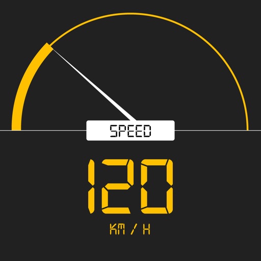
Tracks current, maximum, and average speed using GPS. Displays speed in analog and digital formats with colorful LED. Records distance traveled and trip time. Functions as a trip meter and for vehicles, walking, running, biking, and boating.
View real-time GPS coordinates and addresses without storing data. coordinates via SMS, iMessage, email, Facebook, WhatsApp, and other apps. Access maps screen to view visually. Display and generate Apple Maps or Google Maps links.
Track and distance with real-time GPS. Log trips and view detailed statistics. Use drag meter for performance analysis. Monitor odometer and fuel efficiency. Access advanced HUD display for driving insights.
Monitor real-time vehicle data including location, speed, and status updates every ten seconds. View altitude, address, and ignition status. Access tracked object information without refreshing or relogging in.
Tracks location and sends data to a chosen server, saving data when offline and transmitting in batches. Configure tracking settings for detailed logs or battery-efficient mode. Monitor bike rides, runs, walks, car trips, and train journeys.
Track vehicle location and monitor movement in real time. Search for addresses and view current location. Navigate to specific destinations like ATMs, hospitals, and schools with estimated arrival times. Receive turn-by-turn directions using GPS.
Display speed and heading with GPS accuracy. Show location of nearby speed cameras. Change speed units, prevent screen lock, and enable speed camera alerts in settings.
Monitor , air pressure, and oxygen levels in real time using GPS and sensor data. Customize theme and background. Track environmental changes with precise measurements and dynamic updates.
Capture GPS coordinates with a simple interface. Add descriptive notes to each location. Export data in multiple formats. Sync with Geographic Information Systems for mapping and analysis.