Report infrastructure issues like potholes or broken streetlights by capturing photos and using GPS to mark locations. Submit service requests directly to the city's 311 system. Track the status of your report from submission to resolution.
Developer tools allows scanning codes to connect devices without manual WiFi proxy setup. Supports domain name filtering to intercept specific traffic. Enables JavaScript script writing for request/response processing.
Track vehicle locations using GPS. View past location history on maps. Search by vehicle make, model, stock number, or VIN. Save individual vehicle details for easy access.
Share with family and friends via mutual consent. View history for past movements. Set up tracking for loved ones. Send alerts for updates. Manage sharing settings and permissions.
Send and receive files via QR codes. Transfer to multiple devices or groups. Chat offline with up to five devices. Share files instantly across platforms. Disable ads permanently. No file size limits. Sync devices for seamless file management.
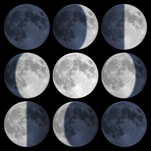
Calculate sunrise, sunset, moonrise, and moonset times based on GPS location or selected locations. Track moon phases and twilight times. Save multiple locations and sync calendars for upcoming events. Support timezone selection and iPad Split View.
Locate utilities and record positions with pinpoint
Locate underground and above-ground utilities with pinpoint mapping. Record and manage data points for infrastructure. Export data or relocate previous map entries. Answer location-based questions about services or damages.
Use to bypass regional restrictions and improve internet speed. Select from multiple server locations for optimal performance. Connect instantly without registration. Ensure privacy by not collecting user data.
Record geological data using GPS, camera, and mapping tools. Log structural and formation details with pre-defined options. Link images to records and view data in real-time on a map. Manage and organize field notes digitally.