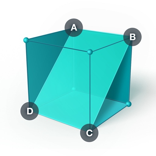
Create and manipulate 3D geometric . Measure angles and distances. Explore properties of solids and their relationships. Solve math problems involving . Visualize perpendicular and parallel lines. Apply the Pythagorean Theorem in 3D space.
The shape and location of US states and landmarks for free. Purchase additional maps for countries in the Americas and Europe. Test knowledge with quizzes and games. Track progress and review facts repeatedly.
Learn colors, numbers, shapes, and alphabets through 13 educational games with professional voice guidance. Choose from 12 languages and three skill levels. Interact with a 3D kitten guide for navigation and support.
Construct geometric shapes using points, lines, circles, polygons, and angles. Drag points to explore interactive . Measure lengths and areas. Transform shapes through mirroring, rotating, and dilating.
Create and facial sketches using detailed geometric models. Analyze face structure from basic shapes to complex forms. Practice with 25 models, including 2 free. Refine sketches with layered tools and adjust proportions.
Scan problems using the camera for instant solutions. View step-by-step explanations to understand concepts. Ask questions and receive answers from other users. Access study materials and track progress over time.
Learn geography through interactive maps and quizzes
Learn geography by identifying shapes and locations of US states, countries in the Americas, Europe, Asia, and Africa. Study capitals and landmarks with included maps. Track progress through step-by-step lessons and repeated practice.
Study flashcards with customizable questions and answers. Review progress with statistics and spaced repetition. Create and share flashcards with classmates. Solve math problems with step-by-step explanations.
Learn basic math, reading, and science through interactive . Complete puzzles, sort objects, and solve problems. Track progress and receive feedback. Sync across devices and access a variety of age-appropriate activities.
Create and manipulate geometric shapes such as points, lines, angles, and conic sections. Adjust properties and calculate metrics. Display shapes on a zoomable coordinate system. Construct medians, altitudes, and bisectors.