The app calculates temperature-corrected altitudes for various instrument approaches. It integrates weather, runway, and de-/anti-icing data into a clear workflow to reduce workload and improve situational awareness.
Schedule services, job listings, and download files directly. Manage appointments, track project status, and access files. Receive updates and communicate with support team.
Read articles on aviation topics such as flight operations, airworthiness, maintenance, and technology. Access content written by engineers, pilots, and maintenance staff.
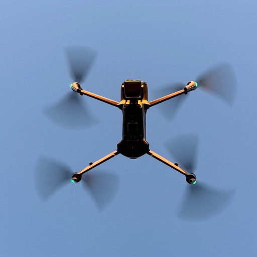
Collect images to create high-resolution maps and 3D models using drones. Choose modes for different sites. Preview paths in 2D or 3D. Use Terrain Follow to adjust drone height for better imagery.
Book rides with a modern electric taxi fleet. Request a ride instantly. Pay by card. Track vehicle location in real time. View estimated arrival time. Rate driver performance. Confirm pickup and drop-off addresses. Share ride details with contacts.
Access detailed materials, system diagrams, and procedures based on the official EJETS Airplane Operations Manual. Search for specific topics, view checklists, and review emergency protocols.
Plan and track drone flights, maintenance, and equipment. Log incidents and manage compliance tasks. Automate regulatory checks and access flight data. Submit reports and monitor operational history. Share flight details with stakeholders.
The app provides crisis communication abilities, allowing users to receive alerts and share media from the field. System operators can send alerts and manage their system remotely to ensure people's safety.