Apps Like Topographic Maps & Trails for iPhone and iPad
Download for offline use
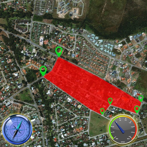
View and navigate USGS and satellite imagery. Download for offline use. Track hiking routes and save locations. Access detailed terrain and elevation data.
by LW Brands, LLC★ 4.62,821 ratingsNavigation$4.99Data updated 2026-11-11
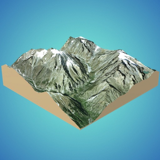
Create 3D models from online sources like Bing Maps or local cloud points. Export data as CSV, TXT, STL, or OBJ. Modify models by cutting, scaling, and animating. Calculate surface areas and volumes in real-world units.