

Apps Like Topographic Maps & Trails for iPhone and iPad
Download for offline use
View and navigate USGS and satellite imagery. Download for offline use. Track hiking routes and save locations. Access detailed terrain and elevation data.
Topographic Maps & Trails screenshots
Ranked alternatives
Showing 301–320 of 1,000 ranked alternatives.


Backseat Geologist
Blake Morgan
Explore landscapes with geologic insights
Listen to audio descriptions of geologic formations as you drive. Tap on a map to explore details about nearby rock units. Receive information about the geology beneath your vehicle.

Mediterranean Sea HD GPS Chart
Flytomap
Worldwide marine and outdoor maps.
The app provides worldwide marine and outdoor maps, satellite imagery, and terrain overlays. It offers local marine weather forecasts, tide data, and wind information, functioning without mobile coverage.

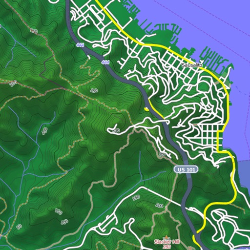
Mapster
Syzygy Research & Technology Ltd.
View maps, download trails, store routes
View and download detailed maps with topographical hillshading and contour lines. Store maps for offline use. Navigate using detailed terrain features. Find hiking trails, ski runs, and back streets.

Germany HD GPS Nautical Chart
Flytomap
Explore marine and outdoor maps.
The app provides worldwide marine and outdoor maps, satellite imagery, and terrain overlays. It offers local marine weather forecasts, route planning with unlimited waypoints, and track recording without needing a cellular signal.

Mediterranean Sea GPS Charts
Flytomap
Navigate with satellite maps and offline coverage
View marine with satellite and terrain overlays. Access local weather forecasts. Use NOAA raster for navigation. Track position and route. Share maps and waypoints. Work offline without mobile coverage.

Billy Goat Offroad
Equibs Solutions Pty Ltd
Navigate with offline topo maps of Australia
Transform your iPhone or iPad into a 4WD GPS navigator with offline topo maps of Australia. Get turn-by-turn directions to any destination. View 3D shaded maps at 1:5,000 scale. Access full coverage of Australia without internet.




Virtual Dashboard
Kevinnovate, LLC
Customize dashboards with sensor data
Customize dashboards with configurable gauges like speedometer, odometer, GPS altimeter, barometric altimeter, accelerometer, artificial horizon, compass, and elapsed time. Swipe to switch views and access real-time sensor data from iPhone or iPad.

Rother: Hiking Tours & Maps
Bergverlag Rother GmbH
Route suggestions from professional authors.
The app offers route suggestions from professional authors and maps from qualified cartographers for outdoor experiences. Users can download maps for offline use, plan their own routes, and record adventures.

Map Dots
William Hause
Track routes, mark paths, and review
Track routes by marking paths with . Log movements in wilderness areas. Create neighborhood maps with visited streets. Review completed routes offline. Store data locally without cloud syncing. Navigate without internet or map access.

Rhineland-Palatinate tourism
Outdooractive AG
Explore trails, visit vineyards, discover lakes
Explore scenic routes, historical sites, and cultural attractions in -Palatinate. Navigate trails, view castle details, and access local traditions. Find accommodations, plan itineraries, and receive real-time weather updates.

Rocky Mountain National Park Hiking Guide
Justin Calvert
Offline Rocky Mountain National Park Hikes
The app provides offline maps and information for over 60 hikes in Rocky Mountain National Park. It tracks user progress, shows distance to destinations, and offers detailed hike information including elevation and trailheads.


How we rank alternatives
Apps are ranked by functional similarity, category fit, rating confidence, and popularity.