

Apps Like Mgrs & Utm Map for iPhone and iPad
Navigate with GPS and coordinates
Display current location using GPS, GALILEO, and GLONASS. View position on various map layers. Import and export KML files. Navigate with coordinate systems. Track movement during outdoor activities.
Mgrs & Utm Map screenshots
Ranked alternatives
Showing 621–640 of 1,000 ranked alternatives.


iCMTGIS II
Corvallis Microtechnology, Inc.
GPS/GIS mapping app for data collection.
The app digitizes features on a background map and creates traverse points. It organizes data in Topic layers and supports Shapefile import/export.


GPS - Way Home Finder App
Sabrina Holzer
Find locations with and compass
Navigate using and compass to locate targets. View a smart arrow indicating direction to the target. Display speed, altitude, and distance to the target. Includes a built-in compass for orientation.

ARTEL GPS
Tamilarasan Kannan
Track device location and send commands
Track GPS device status in real time with live speed and location updates. Send commands via TCP protocol. View static and offline time logs. Access traffic and satellite layers. Generate reports and playback sessions.
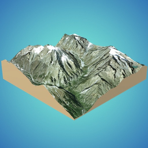
3D GIS Digital Elevation Model
Andres Narvaez
Generate 3D models from internet or cloud
Create 3D models from online sources like Bing Maps or local cloud points. Export data as CSV, TXT, STL, or OBJ. Modify models by cutting, scaling, and animating. Calculate surface areas and volumes in real-world units.

KickMap Washington DC Metro
KICK Design Inc
Washington DC Metro navigation made simple.
The app displays Washington DC Metro stations and transfer points. It uses GPS to show the user's location and the nearest station on the map.

Compass
Piet Jonas
Determine direction with device compass.
The app provides a compass feature for a user's device. It utilizes the built-in magnetic compass or offers a sun compass for navigation during outdoor activities.

Good Earth:Stay ConnectedEarth
荐 梁
Track location and view coordinates
Track location with live coordinates and altitude. Convert GPS data to readable addresses. Monitor speed and heading for motion tracking. Access real-time environmental data for navigation.

OmniGuard
CriticalArc Pty Limited
Real-time incident response coordination tool.
The app displays SafeZone alerts on a map for real-time incident response coordination. It shares and shows team member locations for effective response planning.

Share Tracks–GPS Route Map
Shenzhen Siyang Xunfei Technology Co., Ltd.
Record, enhance, and share GPS routes.
The app records GPS tracks, allowing users to save routes and add photos, videos, and voice notes. Users can share routes with others or upload them to the cloud for discovery by a global community.


How we rank alternatives
Apps are ranked by functional similarity, category fit, rating confidence, and popularity.