Track speed and distance in miles and kilometers. Monitor real-time speed and display maximum and average speeds. Check speed limits and receive warnings for speed and red light cameras. Access offline maps and view weather conditions.
Track aircraft positions in real-time using ADS-B data. View live paths, altitudes, and speeds. Search for specific planes by identifier. Receive alerts for nearby flights and airspace changes.
The app transforms devices into a compass with a rustic aesthetic and user-friendly interface. It provides location, altitude, and orientation using device sensors for navigation and everyday use.
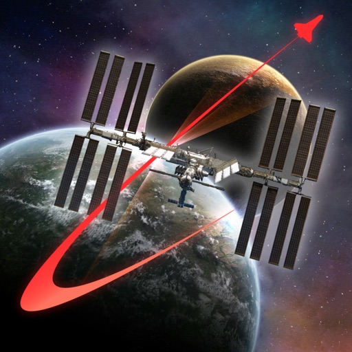
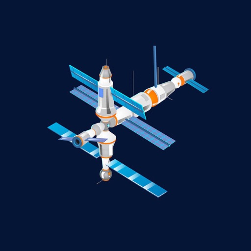
Explore the International Space Station using augmented reality. Navigate modules, learn about their functions, and view future space exploration roles. Simulate a spacewalk with guided tours.
Locations with real-time imagery and GPS tracking. Explore high-resolution of any global area. Zoom in to see detailed terrain and features. Save and share specific views. Navigate using location-based data and overlays.
Point your smartphone at the night sky to identify constellations, stars, and satellites. AR overlays display celestial names in real time. Swipe to navigate different directions. Receive alerts for ISS passes and meteor showers.
Navigation allows users to explore and select from various outdoor activities including hiking, running, biking, and more. Record custom routes on a map, add waypoints, and capture photos along the way.
Watch timelapse videos of celestial phenomena and Earth views. Play videos with synchronized background music. Connect to TV or use Apple TV for enhanced viewing.
Explore a 3D model of with real-time sun position and dynamic lighting. Rotate the globe, zoom in on continents, and view and galaxies. Adjust lighting effects and track celestial movements. Share the view via screen recording or screenshot.
GPS tracks current speed, distance, and altitude. Displays average and maximum speed. Shows speed limits in real time. Supports mph, km/h, and knots. Measures travel time and battery level. Works offline.
Track routes, find waypoints, and navigate offline
Navigate outdoors with offline GPS maps and real-time augmented reality. Track waypoints and custom locations. Use a gyrocompass, speedometer, altimeter, and inclinometer. Find celestial bodies and measure angles.
Display current coordinates, address, county, and altitude for exact location. Scroll the map to navigate and track surroundings. Open the to instantly view position details.
Track driving costs in real-time by entering fuel price and efficiency. Split trip expenses with passengers. Record trips for review or sharing. Monitor speed with visual and sound alerts when exceeding preset limits.
Learn with 3D diagrams showing finger positions. Hear each note's sound and view real-time demonstrations by a saxophonist. Access lessons for different types including soprano, alto, tenor, and baritone.
Access teachings, articles, and Q&As. Search for content across the library. Save progress and view previously opened items. Listen to podcasts on apologetics and evangelization. Watch videos and audio content with improved playback options.