View maps in three different styles with six customizable settings. Long press to access map options. Search for locations and streets. Navigate with fullscreen map interface.
by Corvin Hartmann★ 4.6295 ratingsNavigation$2.99Data updated 2026-09-15
Navigate using augmented reality for real-time directions. Access zoomable maps for any region. View interactive points of interest including public transport, restaurants, and hospitals. Find shopping locations, nightlife spots, and city tips.
Find stargazing locations using weather forecasts and light pollution data. Search the world map for hourly forecasts. View conditions for visibility and clarity. Share locations with others.
Record routes from specific locations to survey sites and display them on a map. Measure distances between coordinates or map points. Calculate areas using coordinate lists or map selections.
The app offers navigation with address and name search, route selection, and voice prompts. It features an ergonomic interface, map drawing algorithms, and user-created maps.
Provide maps for navigation without internet connection. Zoom into detailed vector maps with continuous updates. Locate points of interest and plan routes. Avoid roaming charges by using local data. Save data usage with functionality.
View topographic, nautical, and aerial maps. Save locations as markers syncing across devices via iCloud. Measure distances, draw paths, and use Look Around to navigate. Explore preloaded maps for hiking, hunting, and outdoor activities.
Navigate with real-time safety updates showing street lighting, pedestrian density, and incident reports. Send automated SMS updates to contacts after arriving home. Share locations with friends or housemates via map.
The app offers a guided tour of Krakow's Gothic landmarks and medieval streets. It functions as a personal tour guide, providing audio descriptions of sights and working offline with a map.
Explore an interactive map of . View points of interest and amenities. Access digital tours for educational content. Support conservation efforts through in- donations. Learn about history and restoration projects.
View topographic of with detailed scale options and lake depth information. Access property data via in- purchase. Download for offline use. Navigate using precise map data and location features.
Find publicly accessible toilets near your location. View opening hours, accessibility details, and baby change facilities. Report inaccuracies, leave ratings, and suggest new toilet locations to be added to the map.
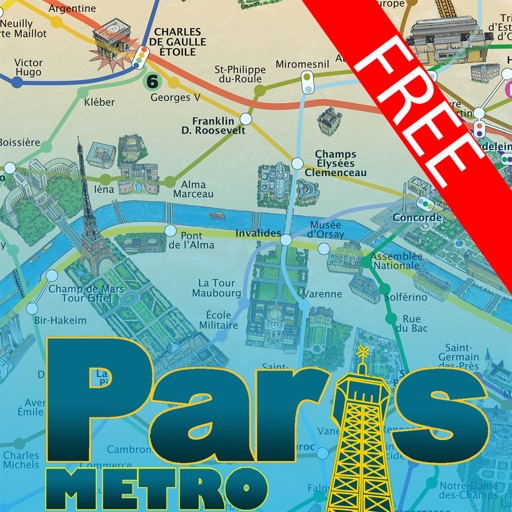
This application offers a hand-painted 3D map of Paris, showcasing famous sites and tourist attractions. Users can easily navigate the city and its metro system with practical information for attractions.
Access information including activities, maps, services, and regulations. View an interactive map with zoom functionality. Receive notifications for weather and updates. Find contact details for assistance. Star activities to receive alerts.
Navigate Lake by marking and accessing marinas, boat launches, restaurants, and other points of interest. Save favorite locations for quick access. Create custom places on the map for specific activities like relaxation or wakeboarding.
Find and save shops using a map interface. Pin locations, view real-time details, and share favorites. Track visited cafes and receive recommendations based on preferences.
The app offers a London Underground planner with current and planned statuses for multiple rail lines. It includes a Tube Map, a single line map, and a Google Maps feature for location.
Browse a list of popular and hidden spots near you. Explore by category to find restaurants, bars, or activities. View options on an interactive map with directions. Save favorite places to plan future outings.