
Hanalei
Zoltan Horvath
Track river levels and weather forecasts
Monitor real-time and historical river levels for and North Shore. Access National Weather Service forecasts for travel planning. Receive weather advisories to adjust travel schedules.
Showing 221–240 of 1,000 ranked alternatives.
Zoltan Horvath
Track river levels and weather forecasts
Monitor real-time and historical river levels for and North Shore. Access National Weather Service forecasts for travel planning. Receive weather advisories to adjust travel schedules.

Trond Rossvoll
Customize widgets and forecasts
Customize widgets with symbols, fonts, and background colors. Choose between two forecast services. Save forecasts locally for offline use. View detailed data and adjust settings for different locations.

Stephen Impey
Log flights and track model details
Log details, track usage, and record maintenance for models. Use QR codes to quickly log flights and batteries. Monitor fuel consumption for nitro and gas models. Support multiple model types including planes, drones, and helicopters.

Brian Deshong
Monitor rivers and streams nationwide.
The app provides real-time river data including height, discharge, and temperature from USGS gauges nationwide. Users can view historical trends, save selected locations, and monitor flood-stage information for recreation and property awareness.


Applorium Ltd
Notes, time, and locations
Timestamps, location, and notes for detailed logging. View and edit logs with a compact interface. Filter entries by date or location. Capture thoughts, expenses, and daily habits with precise timing.
SHIGETO TAKAGI
Track speed and distance with GPS
Displays speed in and distance traveled using GPS. Tracks maximum speed with vibration alerts. Shows position and time of maximum speed on a map. Switches between light and dark modes. Notifies of GPS measurement errors.

dataWorks GmbH
Navigate with altitude and accuracy
Displays altitude, coordinates, and speed with options for metric or imperial units. Shows accuracy and warns about signal issues. Offers aircraft mode with in feet. Compares current altitude with known values. No ads or data collection.

911 Weather
Access all NOAA National Weather Service products.
The app provides access to all NOAA National Weather Service forecast, watches, advisories, warnings, observations, statements, and discussions. It identifies the user's local NWS office and allows browsing by office or hazard type.


Velocity Raptor Incorporated
Track ships in real-time
Track ships in real-time with detailed location data and voyage updates. View routes, port schedules, and passenger reviews. Set alerts for arrivals and departures. Share voyage information via social media.


Hefeng Internet Technology Beijing Co Ltd
View weather maps and track global conditions
View historical weather data for specific dates and locations. Analyze temperature, precipitation, and other metrics over time. Access real-time weather maps with layers like temperature, humidity, and radar. Track storm patterns and seasonal trends.

Ralf Andrae
Set vehicle level and position
Aligns vehicles on uneven terrain or pitches. Adjusts leveling using built-in sensors. Displays real-time feedback on screen. Saves settings for future use. Integrates with iOS devices for precise adjustments.

BALLISTIC SOLUTIONS RESEARCH & DEVELOPMENT SOFTWARE SIARHEI RAICHONAK
Calculate and spark plug for KTM 2-strokes
Calculate optimal and spark plug settings for KTM 2-strokes based on temperature, altitude, humidity, atmospheric pressure, and engine configuration.
Sim Ruenn Kang
World weather radar and earthquake data.
The app displays world rain radar, satellite imagery, and earthquake data on a Google Map. It provides weather information including temperature, wind, humidity, pressure, and cloud coverage, along with forecasts.

Xsa Software S.R.L.
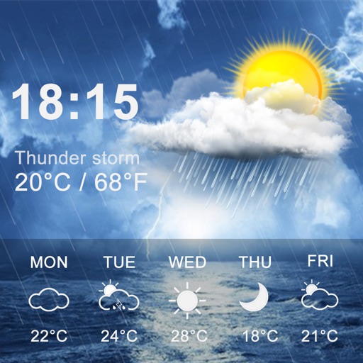
Forecast rain, snow, and thunderstorms
Provides 3-day forecasts and 14-day outlook. Displays current conditions, temperature, and precipitation. Includes atmospheric pressure and wind speed. Features widgets for quick access. Automatically detects location for accurate forecasts.
Apps are ranked by functional similarity, category fit, rating confidence, and popularity.