The app identifies the user's location and displays nearby businesses such as restaurants, banks, and parks. Users can view business locations, addresses, phone numbers, and distances.
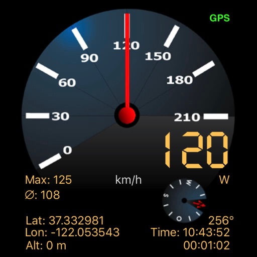
Turn your device into a dash cam with video and route recording. Playback includes video and map overlay with time, speed, and location data. Customize speedometer, set speed alerts, and use HUD for safer driving.
Find using GPS . Search for areas and retrieve accurate latitude and longitude. Switch between standard, satellite, and terrain map views. Calculate area measurements. Share via email or messaging.
Connect with friends, family, and coworkers through integrated messaging and event planning tools. Find and join local meetups using map-based navigation. Create and manage event details with customizable options.