
Airport Distance Calculator
Oliver Brunsmann
Calculate between airports
Calculate the Great Circle between any two airports worldwide. Search by name, ICAO, or IATA code. View accurate measurements and flight path information.

Swipe through charts offline
Navigation allows users to download and store charts for offline use. Swipe through charts, refresh the chart list, and download all charts at once. Single login is required until manually logged out.
Showing 41–60 of 1,000 ranked alternatives.
Oliver Brunsmann
Calculate between airports
Calculate the Great Circle between any two airports worldwide. Search by name, ICAO, or IATA code. View accurate measurements and flight path information.

Mark Bateman
Find and weather contractions
Assists pilots with interpreting NOTAMs, METARs, TAFs, and Area Forecasts. It decodes acronyms and contractions for both inflight and ground use. Users can search for details and weather reports.

Scott International Procedures LLC
Access procedures, track flights, and navigate globally
Access international procedures and aviation resources for pilots. View electronic plotting charts, navigate global routes, and reference cockpit guidelines. Download updates and manage flight data securely.


Minoti Inc
Connect securely and privately across devices
Securely connect to the internet with encryption and anonymity. Access unlimited data and bandwidth. Use one subscription across multiple devices. No registration, logs, or internet activity tracking.

Transdev North America, INC
Book airport rides with upfront pricing
Book rides to and from airports with options for shared-ride, non-stop, black car, or SUV. Set pickup times and pay via credit card or business account. View driver details and track vehicle location in real time.

Jean-Philippe Bouchi-Lamontagne
Record flight hours and track limitations
Record flight hours and monitor operational limits with a detailed logbook. Import flight plans from compatible calendar apps or manually enter data. Track block time, flight time, aircraft details, and runway information.


iFlightPlanner, LLC
Plan flights, track weather, and navigate routes
Plan and manage flights with auto-routing and real-time data. Sync flight details between devices. View weather, airspace, and airport information. Log flight details and track progress. Share flight plans with others.

APG Avionics, LLC
Navigate with glide ring and weather briefing
Provides flight data management with downloadable weather briefings and dual data cycle support. It includes a glide ring for descent planning and a collapsible navlog for airway and procedure tracking.

IDB LLC
Your and network quality
Download and upload speeds for WiFi and mobile networks. Measure ping and jitter for latency. View real-time connection graphs. Track past results with detailed charts and averages. Troubleshoot or verify ISP-provided claims.

ZuluLog, LLC
Pilot logbook and EFB app
The app provides a pilot logbook with charts, weather, and flight planning tools. It includes features for currency tracking, weight and balance, and risk analysis.

Appeclectic Ltd
Track flights, view maps, monitor arrivals
Track flights in real time with interactive maps worldwide. View departure and arrival boards for airports. Monitor flights of friends or family. Receive alerts for status changes. Share data via social media.


Hermann Hoelter
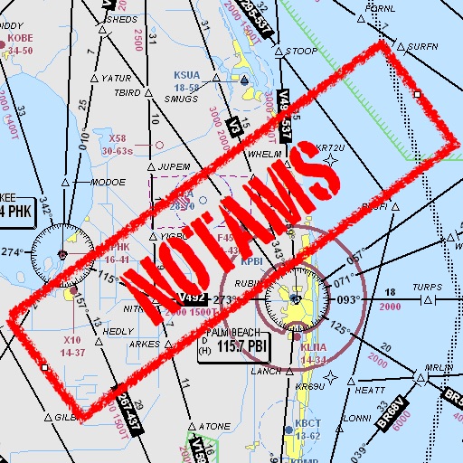
Retrieve NOTAMs for flight prep
Pilots can retrieve information by defining departure and destination airports. Apply filters to narrow results. View NOTAMs in text format or on an interactive map. Translate NOTAMs into multiple languages.

Ford Davis
Track weather and flight details
View real-time weather data including D-ATIS, METARs, TAFs, and reports. Access up-to-date radar images with a subscription or delayed radar for free users. Explore detailed airport information and maps for flight planning.

Andrea Bisegna
Get METAR, TAF, and NOTAM reports
View real-time data for airports including METAR, TAF, NOTAM, WINDS ALOFT, and forecasts. Access ICAO and IATA codes, coordinates, and sunrise/sunset times. Manage favorite airports, search by location or code, and display all airports on a map.

Jeppesen
Navigate, plan, and execute flights efficiently
Navigate using high fidelity airport maps and enroute displays. Access aeronautical data for flight planning. Streamline operations with integrated electronic flight folders. Monitor fuel efficiency and situational awareness during flights.

Breele s.r.o.
Log flight data and import records
Log flight details with a clean interface and built-in audit tools. Import records from airlines, CSV, Excel, or paper logs. Download and autofill flights using ADS-B data. Export logs in formats compliant with international aviation regulations.
Apps are ranked by functional similarity, category fit, rating confidence, and popularity.