Arthur Eduardo Skaetta Alvarez Desenvolvimento de Software LTDA.
Distances and areas with GPS
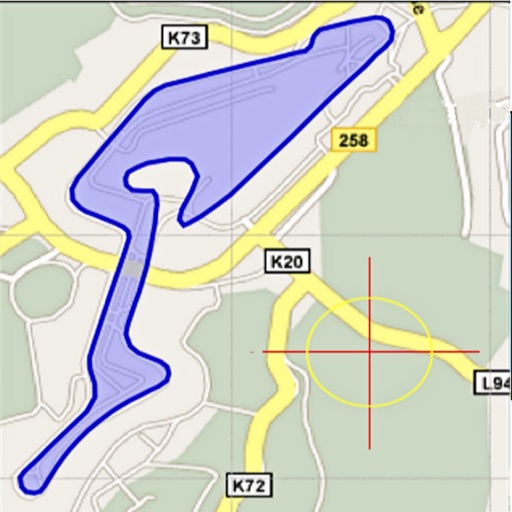
Distances and areas using satellite images. Tap the map to add markers and calculate distances or enclosed areas. Search for addresses to locate measurement points. Support multiple units including square feet and square meters.
Area, lengths, and angles on maps using an interactive crosshair. Trace outlines to create connected points, updating area and perimeter in real time. Adjust radius for scaling features. View dynamic length and angle as you move the crosshair.
The app tracks employees working outside the office, showing their real-time location, battery level, and speed. Users can add phones to track and view employee locations on Google Maps.
Helps users locate stores in Japan. Search for businesses by category or name. View maps with brand logos for quick identification. Save locations and get directions. Filter results by distance or preferences. Share store details with others.
Capture photos and notes on-site. Create and send professional PDF reports. Organize and share project data. Track progress with customizable templates. Sync reports across devices. Export data in multiple formats.
Resize photos and videos with custom dimensions, aspect ratios, and percentages. Adjust brightness, contrast, and color profiles. Apply 100+ templates for social media or anamorphic output. process multiple files.
Edit and enhance grayscale photos with 20 predefined presets and custom adjustments. Apply vignette effects and modify color channels. Save personalized presets. View and share monochrome images directly.
Measure distances, land areas, and perimeters using satellite maps. Calculate perimeters and track outdoor projects. Measure routes for biking, golfing, or racing. Save and share measurement data.
Access study materials, including the Reading Plan and free study resources. Follow a daily reading schedule for individual or group use. Connect with the CBT Team for exclusive content and teachings.