Explore maps, layers, and features with interactive . Create and save maps. Display vector and raster data. Work with feature layers and geodatabases. Add, delete, and edit features and attachments. View code for each sample.
Outdoor navigation technology for every adventure.
The app offers worldwide maps with contour lines and trails for offline use. Users can manage routes, view elevation profiles, and share data with the Terra Map community.
Explore locations using 360° and live webcams. Navigate interactive with dual providers: Google and Apple Look Around. Plan trips, landmarks, and play location-based games. Share panoramic views and access real-time webcam feeds.
The app offers a compass view with animated wind vectors, temperature, and humidity. It also includes an augmented reality 3-D view and a searchable map view for global weather station data.
Explore celestial objects like planets, moons, asteroids, and stars. View detailed information about each object. Track their positions and movements over time. Learn about constellations and their changes throughout the year.
View a 3D with GPS tracking and real-time compass. Explore locations with media features and video streams. Rotate, zoom, and navigate the Earth. Access location-based content and track movement.
Location with latitude, longitude, and elevation. Use compass and speedometer for navigation. paths and share data or current location with friends. View battery and pressure readings. Support 3D touch for iPhone6 and iPhone6 Plus.
Explore by rotating, tilting, and zooming a 3D globe. Select locations to view topographical data and gravity maps. Pinpoint key features like volcanoes, craters, and spacecraft landing sites.
View topographic of the United States with options for standard or hybrid map sources. Download for offline use and track current location on the map. Navigate using map features and explore terrain details for outdoor activities.
Access real-time data including METAR, TAF, and NOTAM reports for 50,000+ airports. View satellite maps and decoded information. Filter nearby airports by runway length and METAR/VFR availability. Save favorites and organize into groups.
Explore trails, track routes, and navigate outdoors
Plan outdoor activities with 3D terrain views of hills, mountains, and valleys. Navigate footpaths and track elevation changes. Save and share custom routes. Sync with fitness apps for activity logging.
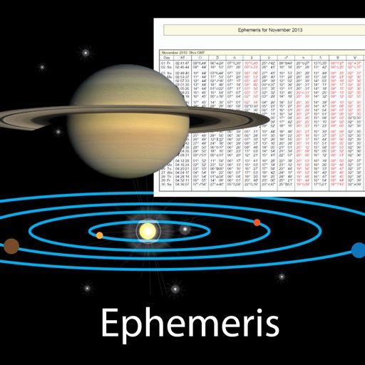
View celestial events like sunrise and sunset times, planetary positions, and declination data. Adjust date and time to check ephemeris for the Sun, Moon, and planets. Access physical properties of celestial bodies including distance and mass.
Plan and navigate boating trips with real-time tracking and high-resolution digital charts covering the US, Europe, and other regions. View vector charts with tappable buoys and lights. Pan and zoom seamlessly across maps.
Explore outdoor routes and points of interest with layered maps. View IGN maps, aerial photos, and OpenStreetMap for hiking and . Access Spain and Swiss maps, emergency call coverage in France, and winter trail information.
Land measurement tools allow precise and distance calculations on maps. Coordinate capture enables adding multiple coordinates to maps. Map exploration includes zooming, panning, and layer management.