

Apps Like MineAR: Augmented Reality Map for iPhone and iPad
MineAR: Augmented Reality Map screenshots
Ranked alternatives
Showing 421–440 of 1,000 ranked alternatives.



GPS Stone (GPX Trip Recorder)
Francois Lamboley
Track trips and export GPX files
Track trips with real-time GPS data including speed, position, distance, elevation, and map display. Record details and export GPX files for review in Google Earth. Sync data to a computer for geo-tagging and management.


OilField Formulas iHandy Calc
zhandos uakanov
Oilfield calculations for petroleum engineers.
The app provides oilfield calculators for petroleum and mud engineers. It offers formulas for downhole capacities, volumes, pump output, ECD, trip calculations, and more.

Scenic Map Central USA
Mark Granger
Explore 3D maps offline worldwide
Navigate with a 3D topographic map of the USA. View detailed terrain and vector data offline. Use in vehicles or during outdoor activities. Access global maps online with automatic caching for offline use.

Mapster
Syzygy Research & Technology Ltd.
View maps, download trails, store routes
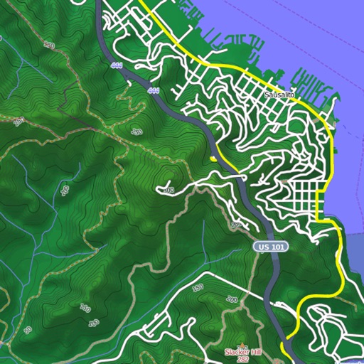
View and download detailed maps with topographical hillshading and contour lines. Store maps for offline use. Navigate using detailed terrain features. Find hiking trails, ski runs, and back streets.


Whistler Area Ski Maps
Ryan Robertson
Navigate trails with topographic
View topographic and thematic of ski areas including Blackcomb and Olympic Park. Access trail descriptions and elevation profiles. Use location features to see current position on .


Geographica | offline map
keiji matsumoto
Offline GPS navigation for outdoor adventures.
The app provides offline GPS navigation for hiking and mountaineering, displaying the user's location on topographic maps. It allows users to record their routes and works without cell service.

Track4Facts PRO: Drag & Track
Klaus Neuendorf
Track routes and analyze speed data
Record driving routes with GPS tracking. View speed, distance, duration, and average speed. Analyze maximum speed, acceleration times, altitude changes, and stops. Display data in charts for performance review.


Rock Identifier: Gem & Rock ID
Ananthakrishnan K R
Identify rocks and minerals with your camera
Identify rocks, minerals, and gemstones using camera or photo library. Analyze structure, texture, and color for accurate results. View detailed insights about identified stones.
How we rank alternatives
Apps are ranked by functional similarity, category fit, rating confidence, and popularity.