FieldPro Go app icon

Apps Like FieldPro Go for iPhone and iPad

by Futura Systems Inc.★ 5.02 ratingsNavigationFreeData updated 2026-09-15

FieldPro Go screenshots

Ranked alternatives

Showing 141–160 of 1,000 ranked alternatives.

  1. Digital Speedometer: HUD Speed app icon

    Digital Speedometer: HUD Speed

    Youness Zaouda

    Track with real-time precision

    Track with GPS-based real-time analytics. View current , historical data, and location markers. Set limits and receive alerts when exceeded. Export data for review and share results.

    ★ 5.018 ratingsUtilitiesFreeData updated 2026-09-06
  2. Land Measure Pro app icon

    Land Measure Pro

    Pendlebury Software LLC

    Area, length, and angles on maps

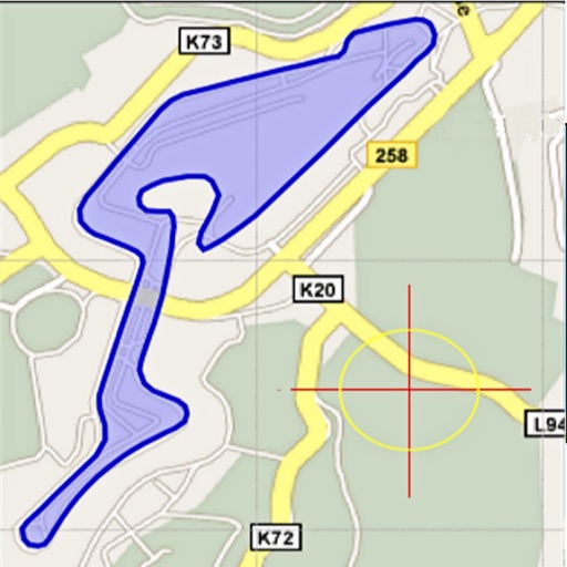
    Area, lengths, and angles on maps using an interactive crosshair. Trace outlines to create connected points, updating area and perimeter in real time. Adjust radius for scaling features. View dynamic length and angle as you move the crosshair.

    ★ 3.122 ratingsProductivity$1.99Data updated 2026-10-02
  1. iGIS for iPad app icon

    iGIS for iPad

    Geometry

    Load, view, and export maps

    View and analyze geographic data with customizable maps. Import ESRI Shapefiles and other datasets. Create and export maps with background imagery. Load and investigate spatial data directly on the device.

    ★ 3.02 ratingsNavigationFreeData updated 2026-09-08
  2. NZ Topo Maps app icon

    NZ Topo Maps

    Rajan Fernandez

    Download , find huts, track trails

    Access offline topographic of New Zealand. Download and manage to conserve storage. Locate DOC huts, campsites, and hunting areas. Search for named locations. Import GPX routes and share via AirDrop. Measure distances on .

    ★ 4.319 ratingsNavigationFreeData updated 2026-09-14
  3. SCATalogue app icon

    SCATalogue

    California Department of Fish and Wildlife

    ★ 5.03 ratingsUtilitiesFreeData updated 2026-09-11
  4. iMapGJ app icon

    iMapGJ

    City of Grand Junction

    ★ 5.03 ratingsNavigationFreeData updated 2026-09-08
  5. 3D Mappa - GIS & Topo Analysis app icon

    3D Mappa - GIS & Topo Analysis

    Andres Narvaez

    Visualize terrain, analyze elevation, export data

    Visualize elevation, slope, and contours in 3D. Export data to DXF, SHP, CSV, OBJ, glTIF, and STL. Analyze terrain features and integrate with AutoCAD and GIS software. Perform quick data exports and simplify complex GIS tasks.

    ★ 5.013 ratingsNavigationFreeData updated 2026-09-06

How we rank alternatives

Apps are ranked by functional similarity, category fit, rating confidence, and popularity.