Open Canal Map UK app icon

Apps Like Open Canal Map UK for iPhone and iPad

by Tom Sapey★ 4.610 ratingsTravelFreeData updated 2026-09-14

Open Canal Map UK screenshots

Ranked alternatives

Showing 181–200 of 1,000 ranked alternatives.

  1. River Thames Guide Lite app icon

    River Thames Guide Lite

    Jeff Maynard

    Planner and guide for River Thames.

    The app provides a planner and guide for the River Thames and Wey Navigation. It includes an interactive map, journey planner, lock and bridge details, weather, and river conditions.

    ★ 0.00 ratingsNavigationFreeData updated 2026-10-24
  1. Lionel Hotel app icon

    Lionel Hotel

    KIDAN TURIZM INSAAT TICARET VE SANAYI ANONIM SIRKETI

    Book rooms, order food, track taxis

    Manage services including internet speed upgrades, room service orders, and taxi bookings. Access housekeeping and laundry services. Use redemption codes for discounts and view special deals.

    ★ 4.743 ratingsTravelFreeData updated 2026-09-15
  2. Palace of Versailles app icon

    Palace of Versailles

    Etablissement public du chateau, du musee et du domaine national de Versailles

    Explore Versailles with audio guides.

    The app offers audio tours of the Palace, Gardens, and Trianon estate. An interactive map guides visitors to points of interest and services, with geolocation highlighting nearby locations.

    ★ 3.078 ratingsTravelFreeData updated 2026-11-17
  3. S2Cells Map app icon

    S2Cells Map

    Simon Frost

    View S2 cells and compare landmarks

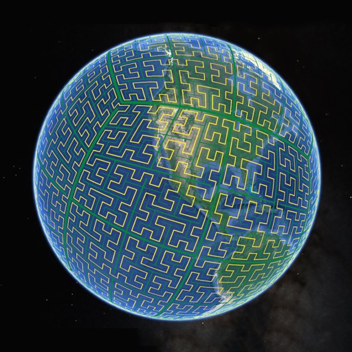
    Display S2 cell boundaries globally. View cell IDs and compare with real-world landmarks. Integrate with Ingress Intel Map to check portals and stops. Ensure new submissions align with cell boundaries.

    ★ 4.33 ratingsNavigation$0.99Data updated 2026-10-05
  4. Wissahickon Valley Park Map app icon

    Wissahickon Valley Park Map

    The Friends of the Wissahickon

    Explore trails, view maps, learn about features

    Explore an interactive map of . View points of interest and amenities. Access digital tours for educational content. Support conservation efforts through in- donations. Learn about history and restoration projects.

    ★ 4.414 ratingsEducationFreeData updated 2026-10-05
  5. ViaKonnect app icon

    ViaKonnect

    MODERN ADVANCE COMPANY FOR ORGANIZING TOURISM TRIPS

    ★ 5.017 ratingsTravelFreeData updated 2026-09-06
  6. AGRIplot app icon

    AGRIplot

    Sharpe Technology Consulting

    Plot areas and calculate distances.

    The app plots areas on a map by adding landmark points or dropping pins. It calculates enclosed area and distances between points, with options to add interest points and photos.

    ★ 2.434 ratingsUtilities$0.99Data updated 2026-11-19
  7. Pegasus Atlas app icon

    Pegasus Atlas

    Naxertech Ltd

    Track assets and view landmarks in real

    View and add Points of Interest on a real-time map. Track assets geographically. Update locations manually or automatically. Share map data with team members. Set custom markers and notes for specific locations.

    ★ 4.04 ratingsBusinessFreeData updated 2026-09-10

How we rank alternatives

Apps are ranked by functional similarity, category fit, rating confidence, and popularity.